Scandretts Bay Area, Scandretts Bay Postcode(0982) & Map in Scandretts Bay
Scandretts Bay Area, Scandretts Bay Postcode(0982) & Map in Scandretts Bay, Auckland, New Zealand
Scandretts Bay, Auckland, New Zealand
Scandretts Bay Postcodes
Scandretts Bay Area (estimated)
0.5 square kilometersScandretts Bay Population (estimated)
0 people live in Scandretts Bay, Rodney, NZScandretts Bay Suburb Area Map (Polygon)
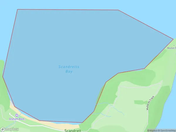
Scandretts Bay Introduction
Scandretts Bay is a small, sheltered bay located in the eastern suburbs of Auckland, New Zealand. It is known for its peaceful atmosphere, stunning natural beauty, and popular recreational activities such as swimming, kayaking, and fishing. The bay is surrounded by lush green hills and is a popular spot for picnics and outdoor gatherings. It is also home to a small community of residents who enjoy the quiet and relaxed lifestyle that the bay offers.Region
Major City
Suburb Name
Scandretts BayOther Name(s)
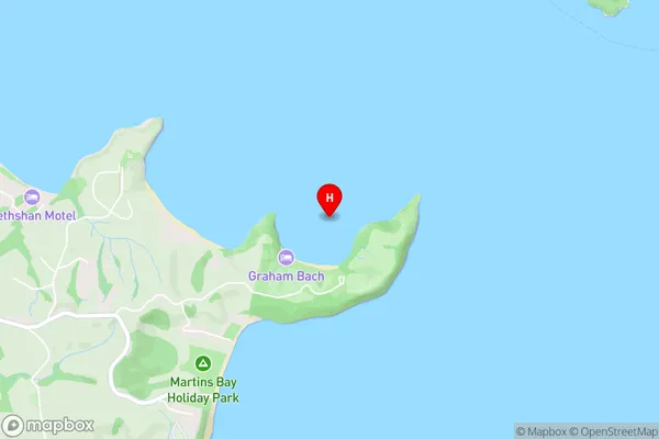
Kawau Bay, Hauraki GulfScandretts Bay Area Map (Street)
Local Authority
AucklandFull Address
Scandretts Bay, Auckland, New ZealandAddress Type
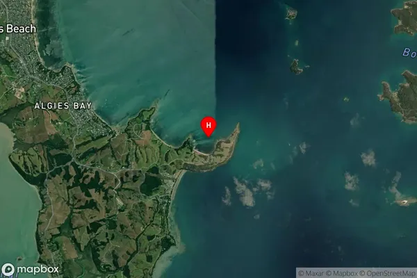
Coastal BayScandretts Bay Suburb Map (Satellite)
Country
Main Region in AU
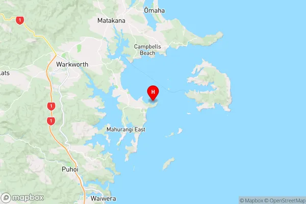
AucklandScandretts Bay Region Map
Coordinates
-36.4392719,174.7729325 (latitude/longitude)Distances
The distance from Scandretts Bay, , Auckland to NZ Top 10 Cities