Sandy Bay Area, Sandy Bay Postcode(7197) & Map in Sandy Bay
Sandy Bay Area, Sandy Bay Postcode(7197) & Map in Sandy Bay, Wairoa District, New Zealand
Sandy Bay, Wairoa District, New Zealand
Sandy Bay Postcodes
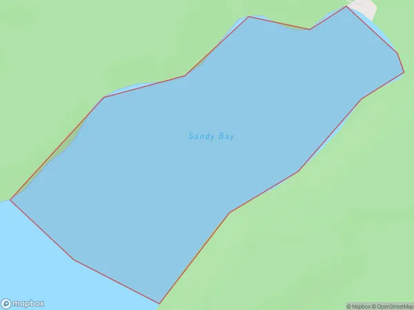
Sandy Bay Area (estimated)
0.4 square kilometersSandy Bay Population (estimated)
0 people live in Sandy Bay, Hawke's Bay, NZSandy Bay Suburb Area Map (Polygon)
Sandy Bay Introduction
Sandy Bay is a popular beach in Hawke's Bay, New Zealand, known for its wide sandy shoreline, gentle waves, and stunning coastal views. It is a popular spot for swimming, sunbathing, and beach sports such as volleyball and surfing. The bay is also home to a small community of residents and a popular campground.Region
Suburb Name
Sandy BayOther Name(s)
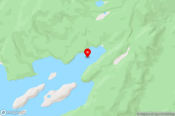
Lake WaikareitiSandy Bay Area Map (Street)
Local Authority
Wairoa DistrictFull Address
Sandy Bay, Wairoa District, New ZealandAddress Type
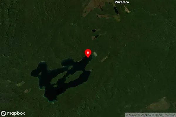
Inland BaySandy Bay Suburb Map (Satellite)
Country
Main Region in AU
Hawke's BaySandy Bay Region Map

Coordinates
-38.7036647,177.1844254 (latitude/longitude)Distances
The distance from Sandy Bay, , Wairoa District to NZ Top 10 Cities