Sandy Bay Area, Sandy Bay Postcode(7197) & Map in Sandy Bay
Sandy Bay Area, Sandy Bay Postcode(7197) & Map in Sandy Bay, Area outside Territorial Authority, New Zealand
Sandy Bay, Area outside Territorial Authority, New Zealand
Sandy Bay Postcodes
Sandy Bay Area (estimated)
0.3 square kilometersSandy Bay Population (estimated)
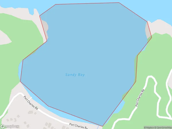
0 people live in Sandy Bay, Waikato, NZSandy Bay Suburb Area Map (Polygon)
Sandy Bay Introduction
Sandy Bay is a small beach located in the Waikato region of New Zealand. It is known for its peaceful atmosphere, stunning sunsets, and clear waters. The beach is a popular spot for swimming, sunbathing, and fishing, and it is surrounded by lush green hills and picturesque countryside.Region
Suburb Name
Sandy BayOther Name(s)
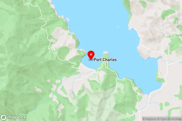
Port CharlesSandy Bay Area Map (Street)
Local Authority
Area outside Territorial AuthorityFull Address
Sandy Bay, Area outside Territorial Authority, New ZealandAddress Type
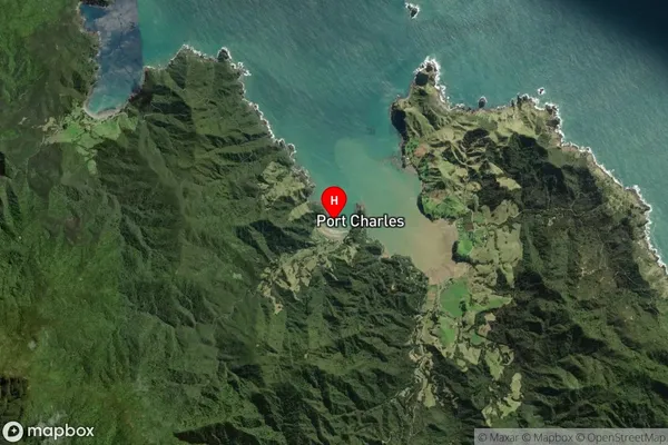
Coastal BaySandy Bay Suburb Map (Satellite)
Country
Main Region in AU
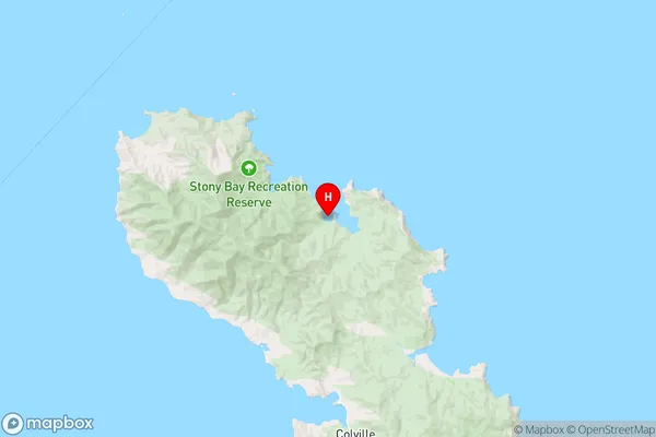
WaikatoSandy Bay Region Map
Coordinates
-36.524778,175.460083 (latitude/longitude)Distances
The distance from Sandy Bay, , Area outside Territorial Authority to NZ Top 10 Cities