Saint Omer Bay Area, Saint Omer Bay Postcode & Map in Saint Omer Bay
Saint Omer Bay Area, Saint Omer Bay Postcode & Map in Saint Omer Bay, Marlborough District, New Zealand
Saint Omer Bay, Marlborough District, New Zealand
Saint Omer Bay Area (estimated)
0.4 square kilometersSaint Omer Bay Population (estimated)
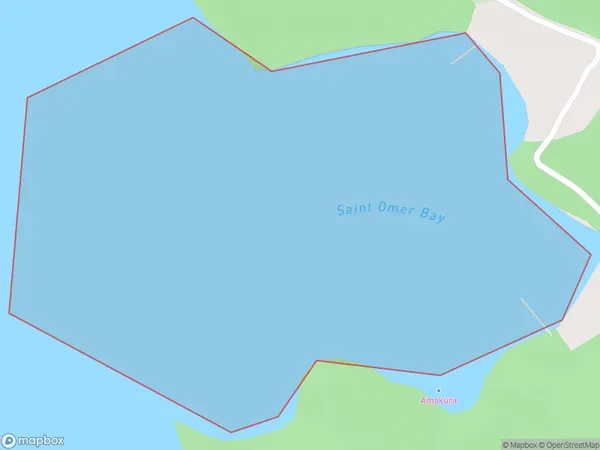
0 people live in Saint Omer Bay, Marlborough, NZSaint Omer Bay Suburb Area Map (Polygon)
Saint Omer Bay Introduction
Saint Omer Bay is a picturesque bay located in Marlborough, New Zealand. It is known for its clear waters, sandy beaches, and stunning coastal scenery. The bay is a popular spot for swimming, boating, and fishing, and it is also home to a variety of wildlife, including seals, dolphins, and penguins. The bay is surrounded by lush green hills and vineyards, and it is a popular destination for wine lovers and nature enthusiasts alike.Region
Suburb Name
Saint Omer BayOther Name(s)
Kenepuru Sound, St Omer BaySaint Omer Bay Area Map (Street)

Local Authority
Marlborough DistrictFull Address
Saint Omer Bay, Marlborough District, New ZealandAddress Type
Coastal BaySaint Omer Bay Suburb Map (Satellite)

Country
Main Region in AU
MarlboroughSaint Omer Bay Region Map

Coordinates
-41.1830556,173.97095489165 (latitude/longitude)Distances
The distance from Saint Omer Bay, , Marlborough District to NZ Top 10 Cities