Safe Cove Area, Safe Cove Postcode(9600) & Map in Safe Cove
Safe Cove Area, Safe Cove Postcode(9600) & Map in Safe Cove, Southland District, New Zealand
Safe Cove, Southland District, New Zealand
Safe Cove Postcodes
Safe Cove Area (estimated)
1.2 square kilometersSafe Cove Population (estimated)
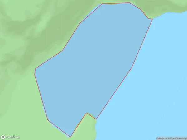
0 people live in Safe Cove, Fiordland Community, NZSafe Cove Suburb Area Map (Polygon)
Safe Cove Introduction
Safe Cove is a small beach located in Southland, New Zealand. It is known for its peaceful atmosphere and stunning natural surroundings, including rugged cliffs, lush forests, and crystal-clear waters. The beach is a popular spot for swimming, kayaking, and fishing, and it is surrounded by breathtaking scenery that makes it a perfect place for a relaxing day outdoors.Region
Major City
Suburb Name
Safe CoveOther Name(s)
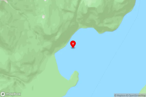
Lake Te AnauSafe Cove Area Map (Street)
Local Authority
Southland DistrictFull Address
Safe Cove, Southland District, New ZealandAddress Type
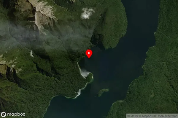
Inland BaySafe Cove Suburb Map (Satellite)
Country
Main Region in AU
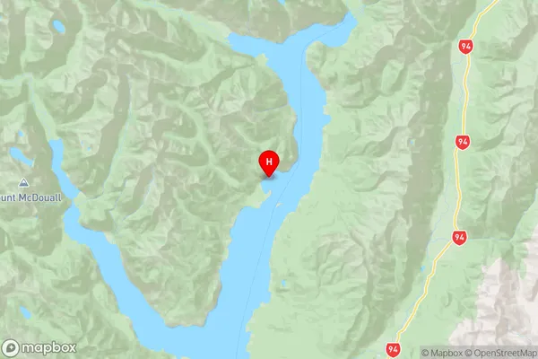
SouthlandSafe Cove Region Map
Coordinates
-45.020028,167.865194 (latitude/longitude)Distances
The distance from Safe Cove, , Southland District to NZ Top 10 Cities