Ruataniwha Inlet Area, Ruataniwha Inlet Postcode(7073) & Map in Ruataniwha Inlet
Ruataniwha Inlet Area, Ruataniwha Inlet Postcode(7073) & Map in Ruataniwha Inlet, Tasman District, New Zealand
Ruataniwha Inlet, Tasman District, New Zealand
Ruataniwha Inlet Postcodes
Ruataniwha Inlet Area (estimated)
8.3 square kilometersRuataniwha Inlet Population (estimated)
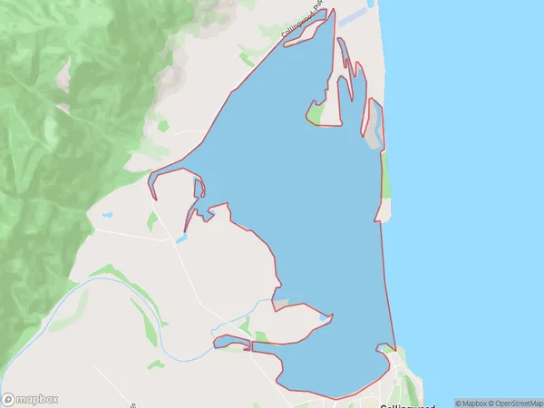
0 people live in Ruataniwha Inlet, Tasman, NZRuataniwha Inlet Suburb Area Map (Polygon)
Ruataniwha Inlet Introduction
Ruataniwha Inlet is a narrow, winding inlet on the west coast of New Zealand's South Island, located in the Tasman District and known for its stunning natural beauty, including towering cliffs, crystal-clear waters, and a variety of marine wildlife. It is also a popular destination for water sports enthusiasts, including kayaking, surfing, and fishing. The inlet is named after the Ruataniwha Mountains, which form its western boundary.Region
Suburb Name
Ruataniwha InletOther Name(s)
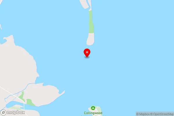
Golden BayRuataniwha Inlet Area Map (Street)
Local Authority
Tasman DistrictFull Address
Ruataniwha Inlet, Tasman District, New ZealandAddress Type
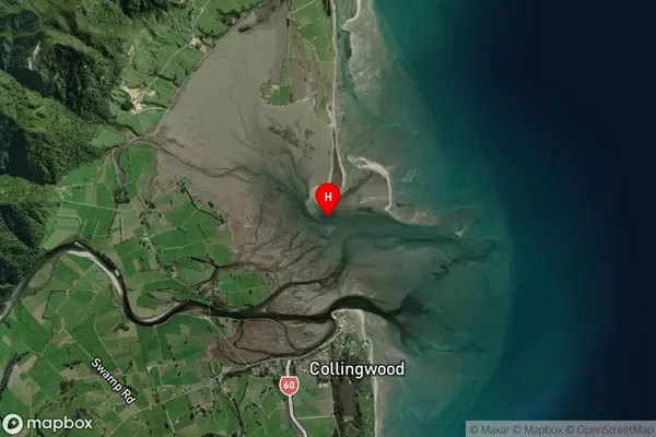
Coastal BayRuataniwha Inlet Suburb Map (Satellite)
Country
Main Region in AU
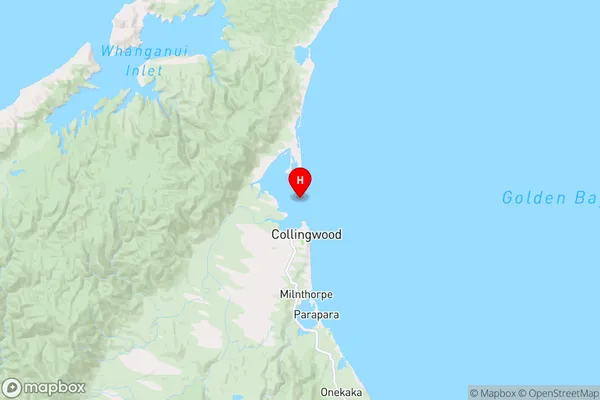
TasmanRuataniwha Inlet Region Map
Coordinates
-40.6641179,172.6798922 (latitude/longitude)Distances
The distance from Ruataniwha Inlet, , Tasman District to NZ Top 10 Cities