Rotongaio Bay Area, Rotongaio Bay Postcode(3330) & Map in Rotongaio Bay
Rotongaio Bay Area, Rotongaio Bay Postcode(3330) & Map in Rotongaio Bay, Taupo District, New Zealand
Rotongaio Bay, Taupo District, New Zealand
Rotongaio Bay Postcodes
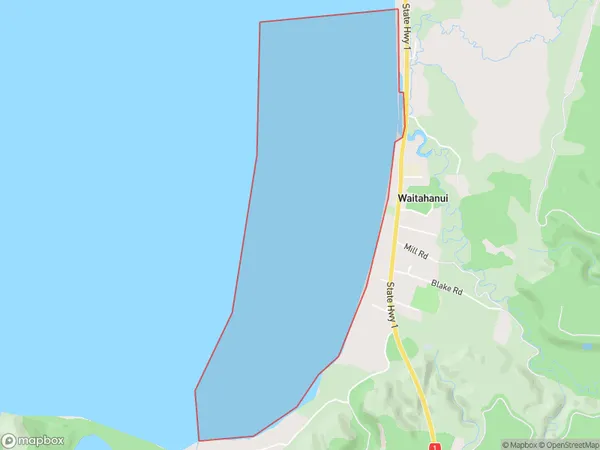
Rotongaio Bay Area (estimated)
3.2 square kilometersRotongaio Bay Population (estimated)
0 people live in Rotongaio Bay, Waikato, NZRotongaio Bay Suburb Area Map (Polygon)
Rotongaio Bay Introduction
Rotongaio Bay is a small, shallow bay on the Waikato coast of New Zealand. It is located about 20 kilometers south of Hamilton and is known for its clear waters and stunning coastal scenery. The bay is a popular spot for swimming, kayaking, and fishing, and is also home to a small community of residents. The bay is surrounded by farmland and native bush, and is a protected area under the Waikato Regional Council's Plan for the Waikato River.Region
Suburb Name
Rotongaio BayOther Name(s)
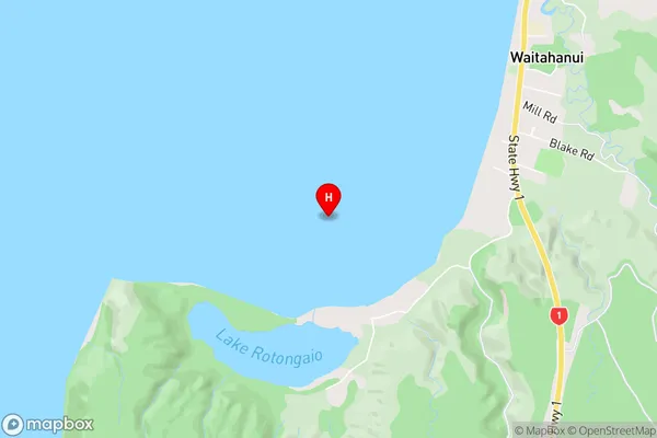
Lake Taupo (Taupomoana)Rotongaio Bay Area Map (Street)
Local Authority
Taupo DistrictFull Address
Rotongaio Bay, Taupo District, New ZealandAddress Type
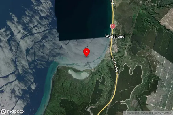
Inland BayRotongaio Bay Suburb Map (Satellite)
Country
Main Region in AU
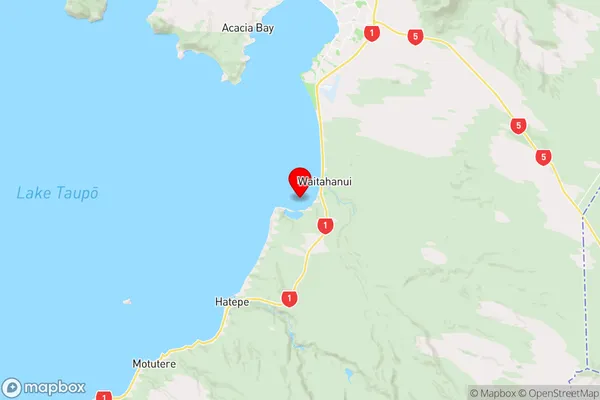
WaikatoRotongaio Bay Region Map
Coordinates
-38.7997779,176.0610945 (latitude/longitude)Distances
The distance from Rotongaio Bay, , Taupo District to NZ Top 10 Cities