Rona Bay Area, Rona Bay Postcode(5013) & Map in Rona Bay
Rona Bay Area, Rona Bay Postcode(5013) & Map in Rona Bay, Area outside Territorial Authority, New Zealand
Rona Bay, Area outside Territorial Authority, New Zealand
Rona Bay Postcodes
Rona Bay Area (estimated)
1.2 square kilometersRona Bay Population (estimated)
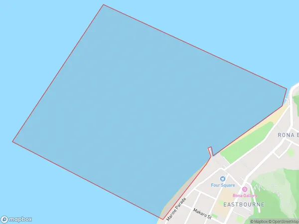
0 people live in Rona Bay, Lower Hutt, NZRona Bay Suburb Area Map (Polygon)
Rona Bay Introduction
Rona Bay is a popular beach located in Wellington, New Zealand. It is known for its calm waters, stunning sunsets, and beautiful coastal scenery. The beach is a popular spot for swimming, sunbathing, and picnicking, and it is also home to a variety of wildlife, including seals and penguins. Rona Bay is easily accessible from the city center and is a must-visit destination for anyone visiting Wellington.Region
Major City
Suburb Name
Rona BayOther Name(s)
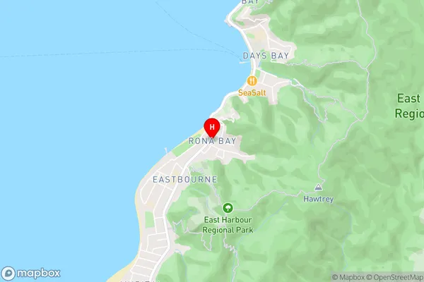
Wellington Harbour / Port Nicholson, Cook StraitRona Bay Area Map (Street)
Local Authority
Area outside Territorial AuthorityFull Address
Rona Bay, Area outside Territorial Authority, New ZealandAddress Type
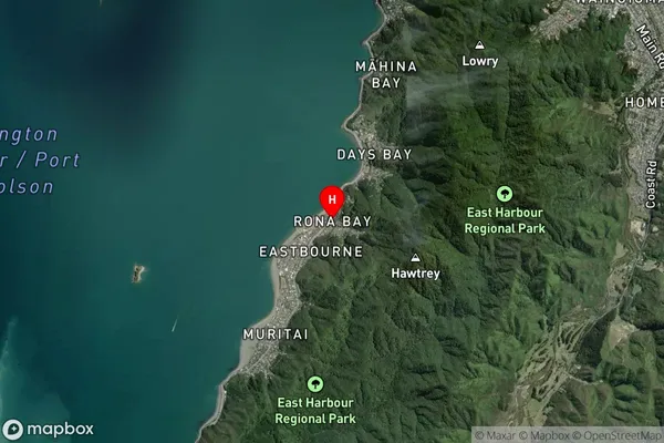
Coastal BayRona Bay Suburb Map (Satellite)
Country
Main Region in AU
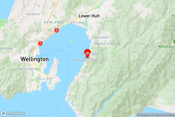
WellingtonRona Bay Region Map
Coordinates
-41.2878128,174.9017339 (latitude/longitude)Distances
The distance from Rona Bay, , Area outside Territorial Authority to NZ Top 10 Cities