Rodger Inlet Area, Rodger Inlet Postcode & Map in Rodger Inlet
Rodger Inlet Area, Rodger Inlet Postcode & Map in Rodger Inlet, Southland District, New Zealand
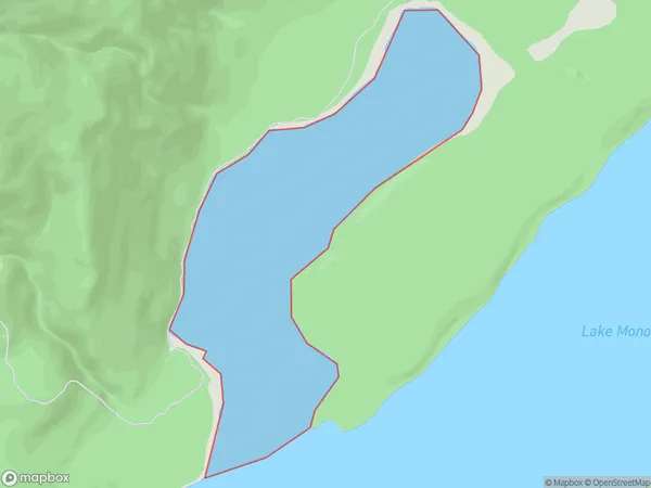
Rodger Inlet, Southland District, New Zealand
Rodger Inlet Area (estimated)
2.0 square kilometersRodger Inlet Population (estimated)
0 people live in Rodger Inlet, Tuatapere Te Waewae Community, NZRodger Inlet Suburb Area Map (Polygon)
Rodger Inlet Introduction
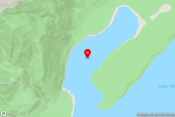
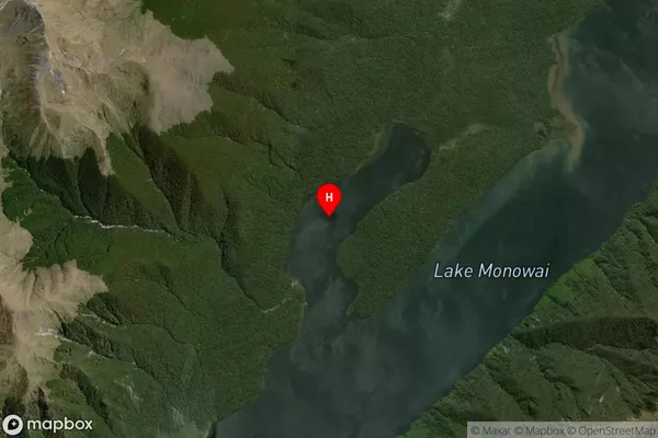
Rodger Inlet is a small inlet located in Fiordland National Park in Southland, New Zealand. It is surrounded by stunning mountain scenery and is a popular spot for fishing, kayaking, and hiking. The inlet is named after the explorer Sir Roger Inlet, who visited the area in 1864.Region
Major City
Suburb Name
Rodger InletOther Name(s)
Monowai LakeRodger Inlet Area Map (Street)
Local Authority
Southland DistrictFull Address
Rodger Inlet, Southland District, New ZealandAddress Type
Inland BayRodger Inlet Suburb Map (Satellite)
Country
Main Region in AU
SouthlandRodger Inlet Region Map

Coordinates
-45.850472,167.448972 (latitude/longitude)Distances
The distance from Rodger Inlet, , Southland District to NZ Top 10 Cities