Rocky Nook Area, Rocky Nook Postcode & Map in Rocky Nook
Rocky Nook Area, Rocky Nook Postcode & Map in Rocky Nook, Area outside Territorial Authority, New Zealand
Rocky Nook, Area outside Territorial Authority, New Zealand
Rocky Nook Area (estimated)
0.2 square kilometersRocky Nook Population (estimated)
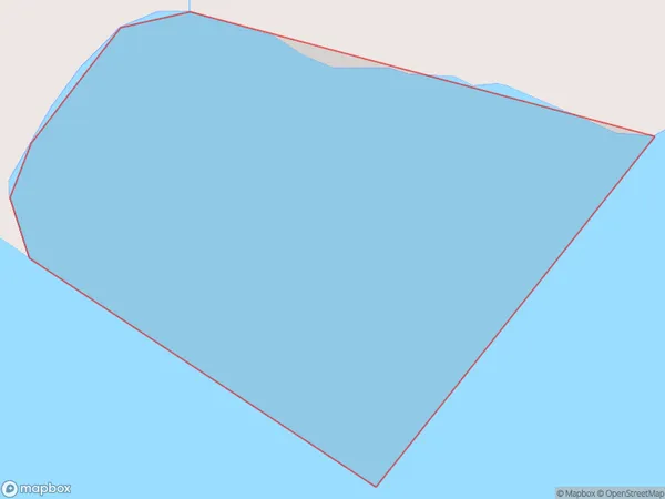
0 people live in Rocky Nook, Canterbury, NZRocky Nook Suburb Area Map (Polygon)
Rocky Nook Introduction
Rocky Nook is a small rural community in the Canterbury region of New Zealand, located near the town of Ashburton. It is known for its scenic rural landscape, with rolling hills, farmland, and picturesque rivers. The community has a population of around 100 people and is home to a variety of businesses, including a dairy farm, a convenience store, and a pub. Rocky Nook is also a popular destination for outdoor enthusiasts, with nearby hiking trails, mountain biking routes, and fishing spots.Region
Suburb Name
Rocky NookRocky Nook Area Map (Street)

Local Authority
Area outside Territorial AuthorityFull Address
Rocky Nook, Area outside Territorial Authority, New ZealandAddress Type
Coastal BayRocky Nook Suburb Map (Satellite)

Country
Main Region in AU
CanterburyRocky Nook Region Map

Coordinates
-43.893461,172.895178628891 (latitude/longitude)Distances
The distance from Rocky Nook, , Area outside Territorial Authority to NZ Top 10 Cities