Robinsons Bay Area, Robinsons Bay Postcode(7581) & Map in Robinsons Bay
Robinsons Bay Area, Robinsons Bay Postcode(7581) & Map in Robinsons Bay, Christchurch City, New Zealand
Robinsons Bay, Christchurch City, New Zealand
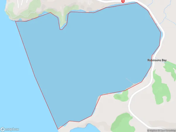
Robinsons Bay Area (estimated)
1.6 square kilometersRobinsons Bay Population (estimated)
0 people live in Robinsons Bay, Banks Peninsula Community, NZRobinsons Bay Suburb Area Map (Polygon)
Robinsons Bay Introduction
Robinsons Bay is a small, picturesque beach located in the Canterbury region of New Zealand. It is known for its clear waters, stunning coastal views, and peaceful atmosphere, making it a popular destination for tourists and locals alike. The beach is surrounded by native vegetation and has a small campground and picnic area. It is also a popular spot for fishing, kayaking, and snorkeling.Region
Major City
Suburb Name
Robinsons BayOther Name(s)
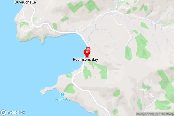
Akaroa HarbourRobinsons Bay Area Map (Street)
Local Authority
Christchurch CityFull Address
Robinsons Bay, Christchurch City, New ZealandAddress Type
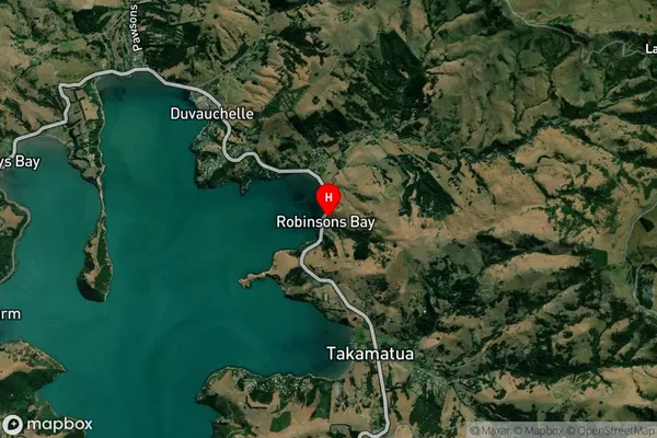
Coastal BayRobinsons Bay Suburb Map (Satellite)
Country
Main Region in AU
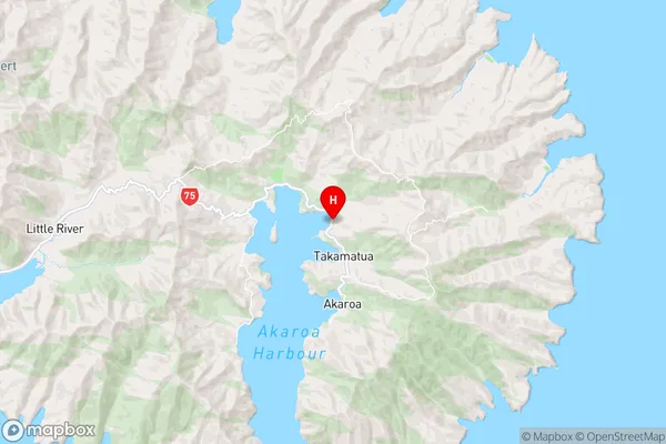
CanterburyRobinsons Bay Region Map
Coordinates
-43.7673647,172.9629026 (latitude/longitude)Distances
The distance from Robinsons Bay, , Christchurch City to NZ Top 10 Cities