Robinson Bay Area, Robinson Bay Postcode(5013) & Map in Robinson Bay
Robinson Bay Area, Robinson Bay Postcode(5013) & Map in Robinson Bay, Area outside Territorial Authority, New Zealand
Robinson Bay, Area outside Territorial Authority, New Zealand
Robinson Bay Postcodes
Robinson Bay Area (estimated)
2.4 square kilometersRobinson Bay Population (estimated)
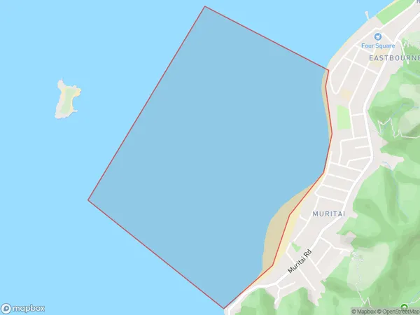
0 people live in Robinson Bay, Lower Hutt, NZRobinson Bay Suburb Area Map (Polygon)
Robinson Bay Introduction
Robinson Bay is a popular beach in Wellington, New Zealand, known for its calm waters and stunning views of the city skyline. It is a popular spot for swimming, sunbathing, and picnicking and is located just a short walk from downtown Wellington. The bay is also home to a small community of penguins, who can be seen nesting and swimming in the waters during the summer months.Region
Major City
Suburb Name
Robinson BayOther Name(s)
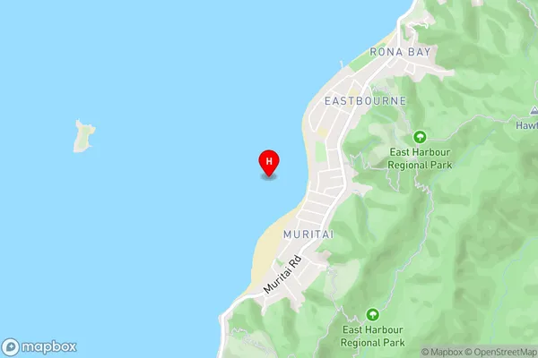
Wellington Harbour / Port Nicholson, Cook StraitRobinson Bay Area Map (Street)
Local Authority
Area outside Territorial AuthorityFull Address
Robinson Bay, Area outside Territorial Authority, New ZealandAddress Type
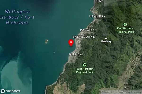
Coastal BayRobinson Bay Suburb Map (Satellite)
Country
Main Region in AU
WellingtonRobinson Bay Region Map

Coordinates
-41.2969601,174.889213 (latitude/longitude)Distances
The distance from Robinson Bay, , Area outside Territorial Authority to NZ Top 10 Cities