Revolver Bay Area, Revolver Bay Postcode & Map in Revolver Bay
Revolver Bay Area, Revolver Bay Postcode & Map in Revolver Bay, Southland District, New Zealand
Revolver Bay, Southland District, New Zealand
Revolver Bay Area (estimated)
1.8 square kilometersRevolver Bay Population (estimated)
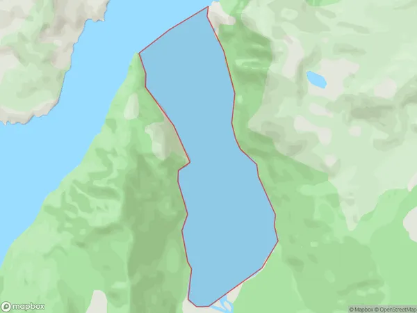
0 people live in Revolver Bay, Southland, NZRevolver Bay Suburb Area Map (Polygon)
Revolver Bay Introduction
Revolver Bay is a small, secluded beach located in Southland, New Zealand. It is known for its stunning natural beauty, including rugged cliffs, crystal-clear waters, and a peaceful atmosphere. The bay is a popular spot for swimming, kayaking, and fishing, and it is surrounded by dense forest and picturesque countryside. Due to its remote location, Revolver Bay is not heavily populated, making it a perfect destination for those seeking a quiet and relaxing getaway.Region
Suburb Name
Revolver BayOther Name(s)
Rakituma / Preservation InletRevolver Bay Area Map (Street)

Local Authority
Southland DistrictFull Address
Revolver Bay, Southland District, New ZealandAddress Type
Coastal BayRevolver Bay Suburb Map (Satellite)

Country
Main Region in AU
SouthlandRevolver Bay Region Map

Coordinates
-46.0393449,166.772465336577 (latitude/longitude)Distances
The distance from Revolver Bay, , Southland District to NZ Top 10 Cities