Te Rere Bay Area, Te Rere Bay Postcode(0479) & Map in Te Rere Bay
Te Rere Bay Area, Te Rere Bay Postcode(0479) & Map in Te Rere Bay, Far North District, New Zealand
Te Rere Bay, Far North District, New Zealand
Te Rere Bay Postcodes
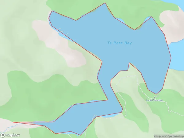
Te Rere Bay Area (estimated)
0.5 square kilometersTe Rere Bay Population (estimated)
0 people live in Te Rere Bay, Bay of Islands-Whangaroa Community, NZTe Rere Bay Suburb Area Map (Polygon)
Te Rere Bay Introduction
Te Rere Bay is a picturesque bay located in the Northland region of New Zealand. It is known for its clear waters, stunning coastal scenery, and diverse marine life. The bay is a popular spot for swimming, snorkeling, and kayaking, and it is home to a small community of residents. The bay is also a significant conservation area, with many species of birds and marine mammals calling it home.Region
Major City
Suburb Name
Te Rere BayOther Name(s)
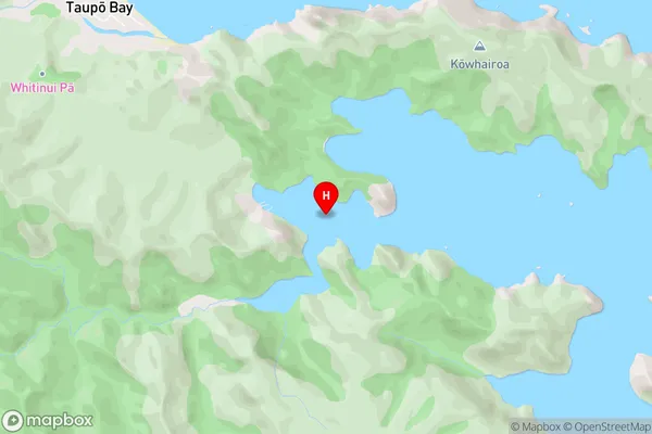
Pekapeka BayTe Rere Bay Area Map (Street)
Local Authority
Far North DistrictFull Address
Te Rere Bay, Far North District, New ZealandAddress Type
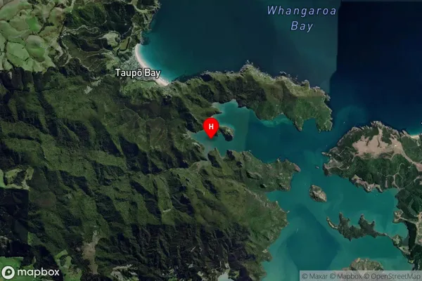
Coastal BayTe Rere Bay Suburb Map (Satellite)
Country
Main Region in AU
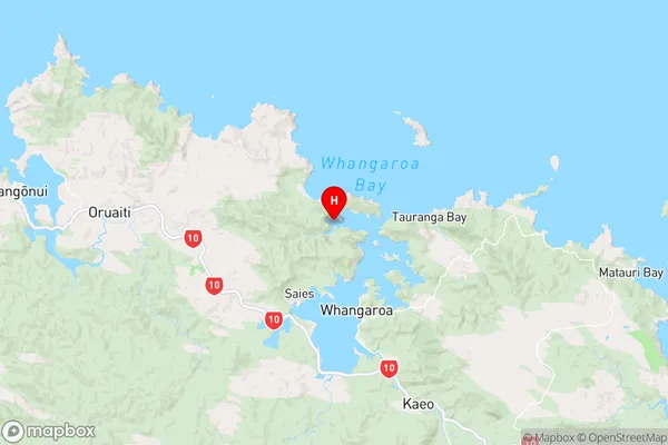
NorthlandTe Rere Bay Region Map
Coordinates
-35.0086971,173.7280512 (latitude/longitude)Distances
The distance from Te Rere Bay, , Far North District to NZ Top 10 Cities