Rawiri Bay Area, Rawiri Bay Postcode(9643) & Map in Rawiri Bay
Rawiri Bay Area, Rawiri Bay Postcode(9643) & Map in Rawiri Bay, Southland District, New Zealand
Rawiri Bay, Southland District, New Zealand
Rawiri Bay Postcodes
Rawiri Bay Area (estimated)
-1.2 square kilometersRawiri Bay Population (estimated)
0 people live in Rawiri Bay, Fiordland Community, NZRawiri Bay Suburb Area Map (Polygon)
Not available for nowRawiri Bay Introduction
Rawiri Bay is a small, sheltered bay located in Southland, New Zealand. It is known for its clear waters and stunning coastal scenery, making it a popular spot for swimming, kayaking, and fishing. The bay is also home to a small community of residents and a popular campground.Region
Major City
Suburb Name
Rawiri BayOther Name(s)
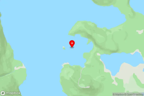
Hope Arm, Lake ManapouriRawiri Bay Area Map (Street)
Local Authority
Southland DistrictFull Address
Rawiri Bay, Southland District, New ZealandAddress Type
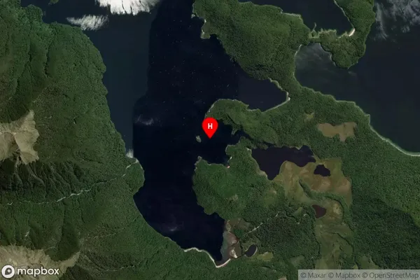
Inland BayRawiri Bay Suburb Map (Satellite)
Country
Main Region in AU
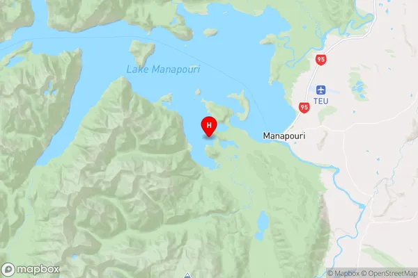
SouthlandRawiri Bay Region Map
Coordinates
-45.567374,167.5393444 (latitude/longitude)Distances
The distance from Rawiri Bay, , Southland District to NZ Top 10 Cities