Rauporoa Bay Area, Rauporoa Bay Postcode & Map in Rauporoa Bay
Rauporoa Bay Area, Rauporoa Bay Postcode & Map in Rauporoa Bay, Area outside Territorial Authority, New Zealand
Rauporoa Bay, Area outside Territorial Authority, New Zealand
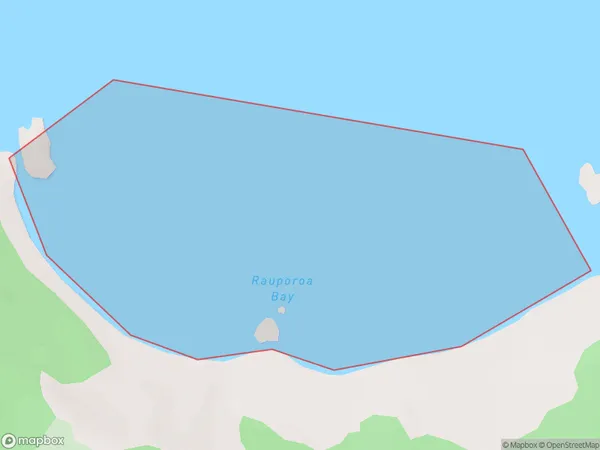
Rauporoa Bay Area (estimated)
0.6 square kilometersRauporoa Bay Population (estimated)
0 people live in Rauporoa Bay, Waikato, NZRauporoa Bay Suburb Area Map (Polygon)
Rauporoa Bay Introduction
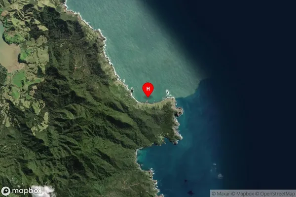
Rauporoa Bay is a picturesque beach located in the Waikato region of New Zealand. It is known for its clear waters, white sand, and stunning coastal views. The bay is a popular spot for swimming, sunbathing, and fishing, and it is surrounded by native bush and farmland. The area also has a rich history, with several historic buildings and sites located nearby.Region
Suburb Name
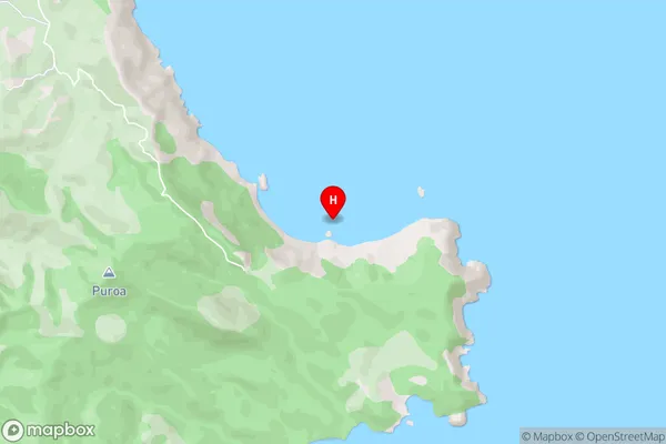
Rauporoa BayRauporoa Bay Area Map (Street)
Local Authority
Area outside Territorial AuthorityFull Address
Rauporoa Bay, Area outside Territorial Authority, New ZealandAddress Type
Coastal BayRauporoa Bay Suburb Map (Satellite)
Country
Main Region in AU
WaikatoRauporoa Bay Region Map

Coordinates
-36.5397382,175.523541 (latitude/longitude)Distances
The distance from Rauporoa Bay, , Area outside Territorial Authority to NZ Top 10 Cities