Raupo Bay Area, Raupo Bay Postcode & Map in Raupo Bay
Raupo Bay Area, Raupo Bay Postcode & Map in Raupo Bay, Area outside Territorial Authority,
Raupo Bay, Area outside Territorial Authority,
Raupo Bay Area (estimated)
0.3 square kilometersRaupo Bay Population (estimated)
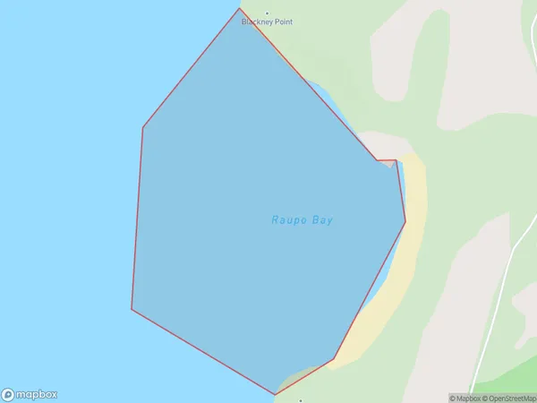
0 people live in Raupo Bay, Brighton, NZRaupo Bay Suburb Area Map (Polygon)
Raupo Bay Introduction
Raupo Bay is a small, sheltered bay located in the southern region of New Zealand's Otago Peninsula. It is known for its peaceful atmosphere, stunning coastal scenery, and diverse marine life. The bay is a popular spot for swimming, kayaking, and fishing, and it is also home to a small community of residents.Region
Major City
Suburb Name
Raupo BayOther Name(s)
Rangaunu BayRaupo Bay Area Map (Street)
Local Authority
Area outside Territorial AuthorityFull Address
Raupo Bay, Area outside Territorial Authority,Address Type
Coastal BayRaupo Bay Suburb Map (Satellite)
Country
Main Region in AU
OtagoRaupo Bay Region Map
Coordinates
0,0 (latitude/longitude)Distances
The distance from Raupo Bay, , Area outside Territorial Authority to NZ Top 10 Cities