Ratimera Bay Area, Ratimera Bay Postcode & Map in Ratimera Bay
Ratimera Bay Area, Ratimera Bay Postcode & Map in Ratimera Bay, Marlborough District, New Zealand
Ratimera Bay, Marlborough District, New Zealand
Ratimera Bay Area (estimated)
0.1 square kilometersRatimera Bay Population (estimated)
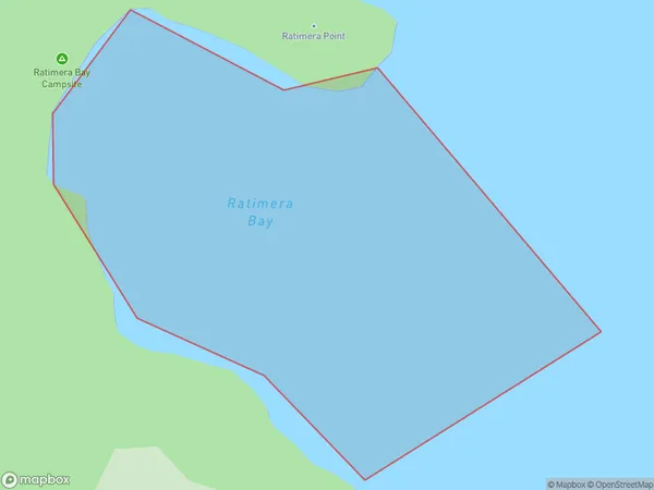
0 people live in Ratimera Bay, Marlborough, NZRatimera Bay Suburb Area Map (Polygon)
Ratimera Bay Introduction
Ratimera Bay is a picturesque and peaceful bay located in Marlborough, New Zealand. It is known for its clear waters, stunning coastal scenery, and diverse marine life. The bay is a popular spot for swimming, kayaking, and fishing, and it is also home to a small community of residents. The bay is surrounded by lush green hills and is located within the Marlborough Sounds, a UNESCO World Heritage Site.Region
Suburb Name
Ratimera BayOther Name(s)
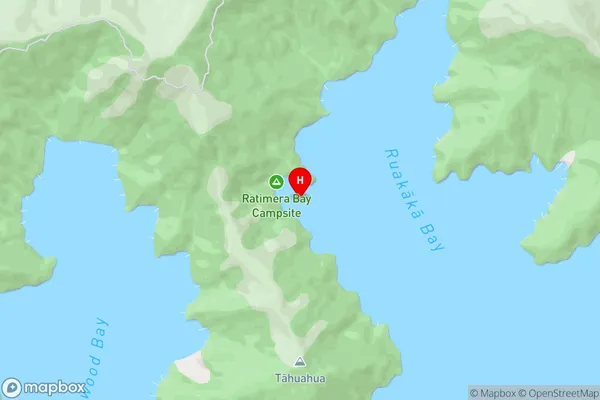
Ruakaka Bay, Queen Charlotte Sound (Totaranui) (Maori Name: Ruakākā Bay, Queen Charlotte Sound (Totaranui))Ratimera Bay Area Map (Street)
Local Authority
Marlborough DistrictFull Address
Ratimera Bay, Marlborough District, New ZealandAddress Type
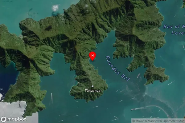
Coastal BayRatimera Bay Suburb Map (Satellite)
Country
Main Region in AU
MarlboroughRatimera Bay Region Map

Coordinates
-41.2057615,174.1146157 (latitude/longitude)Distances
The distance from Ratimera Bay, , Marlborough District to NZ Top 10 Cities