Rapatu Bay Area, Rapatu Bay Postcode(3010) & Map in Rapatu Bay
Rapatu Bay Area, Rapatu Bay Postcode(3010) & Map in Rapatu Bay, Rotorua District, New Zealand
Rapatu Bay, Rotorua District, New Zealand
Rapatu Bay Postcodes
Rapatu Bay Area (estimated)
0.4 square kilometersRapatu Bay Population (estimated)
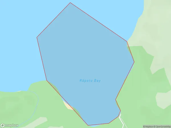
0 people live in Rapatu Bay, Bay of Plenty, NZRapatu Bay Suburb Area Map (Polygon)
Rapatu Bay Introduction
Rapatu Bay is a picturesque beach located in the Bay of Plenty, New Zealand. It is known for its crystal-clear waters, white sand, and stunning coastal views. The bay is a popular spot for swimming, snorkeling, and kayaking, and it is surrounded by lush green hills and picturesque farmland. The bay is also home to a small community of residents who enjoy the peaceful and relaxed lifestyle that the area offers.Region
Suburb Name
Rapatu Bay (Maori Name: Rāpatu Bay)Other Name(s)
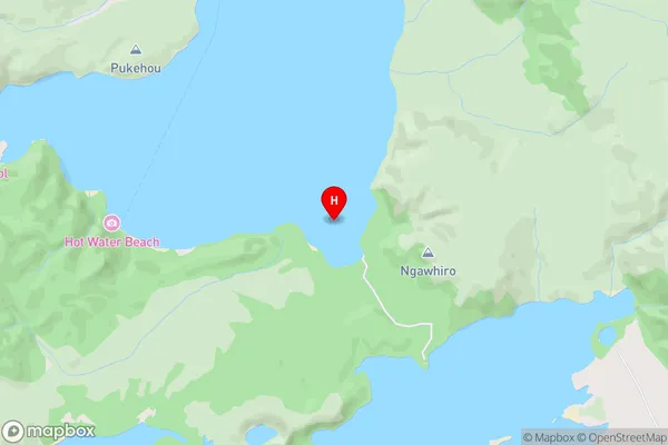
Lake TaraweraRapatu Bay Area Map (Street)
Local Authority
Rotorua DistrictFull Address
Rapatu Bay, Rotorua District, New ZealandAddress Type
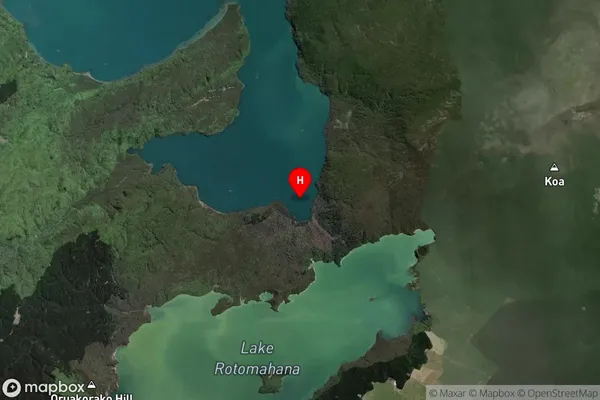
Inland BayRapatu Bay Suburb Map (Satellite)
Country
Main Region in AU
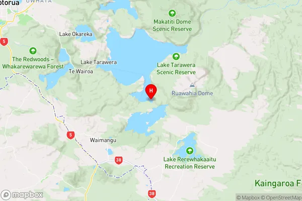
Bay of PlentyRapatu Bay Region Map
Coordinates
-38.2434524,176.4504772 (latitude/longitude)Distances
The distance from Rapatu Bay, , Rotorua District to NZ Top 10 Cities