Rangiuru Bay Area, Rangiuru Bay Postcode(3010) & Map in Rangiuru Bay
Rangiuru Bay Area, Rangiuru Bay Postcode(3010) & Map in Rangiuru Bay, Rotorua District, New Zealand
Rangiuru Bay, Rotorua District, New Zealand
Rangiuru Bay Postcodes
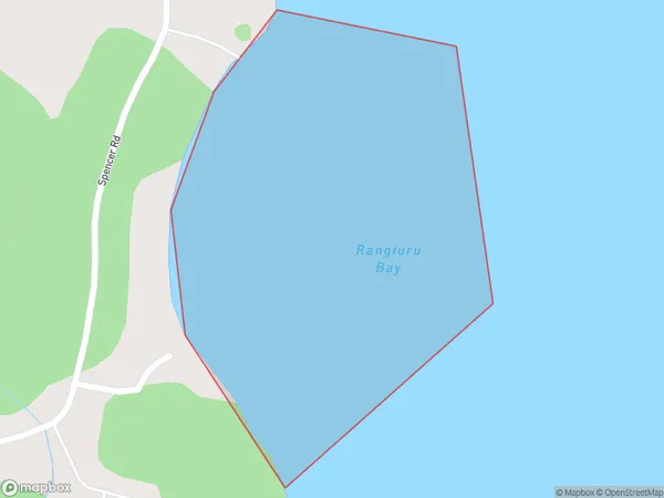
Rangiuru Bay Area (estimated)
0.2 square kilometersRangiuru Bay Population (estimated)
0 people live in Rangiuru Bay, Bay of Plenty, NZRangiuru Bay Suburb Area Map (Polygon)
Rangiuru Bay Introduction
Rangiuru Bay is a picturesque beach located in the Bay of Plenty, New Zealand. It is known for its clear waters, white sand, and stunning sunsets. The bay is a popular spot for swimming, snorkeling, and kayaking, and it is also home to a variety of bird species. Rangiuru Bay is surrounded by native bush and farmland, and it is a short drive from the town of Whakatane.Region
Suburb Name
Rangiuru BayOther Name(s)
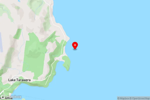
Lake TaraweraRangiuru Bay Area Map (Street)
Local Authority
Rotorua DistrictFull Address
Rangiuru Bay, Rotorua District, New ZealandAddress Type
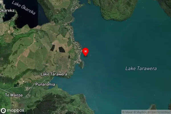
Inland BayRangiuru Bay Suburb Map (Satellite)
Country
Main Region in AU
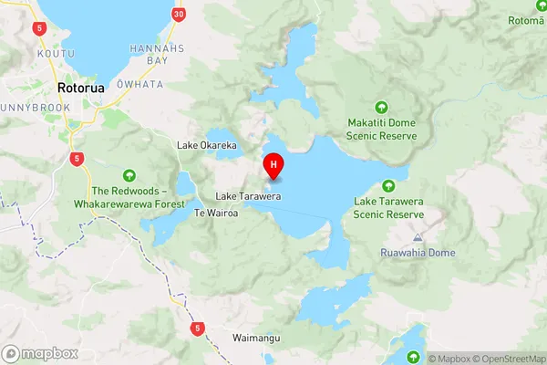
Bay of PlentyRangiuru Bay Region Map
Coordinates
-38.1941452,176.3980319 (latitude/longitude)Distances
The distance from Rangiuru Bay, , Rotorua District to NZ Top 10 Cities