Rangitane Bay Area, Rangitane Bay Postcode & Map in Rangitane Bay
Rangitane Bay Area, Rangitane Bay Postcode & Map in Rangitane Bay, Marlborough District, New Zealand
Rangitane Bay, Marlborough District, New Zealand
Rangitane Bay Area (estimated)
0.2 square kilometersRangitane Bay Population (estimated)
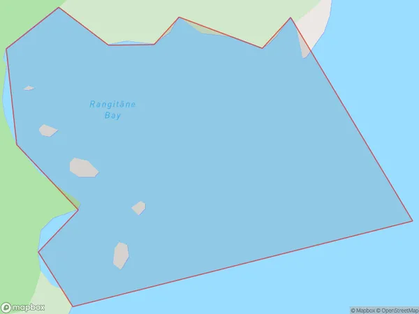
0 people live in Rangitane Bay, Marlborough, NZRangitane Bay Suburb Area Map (Polygon)
Rangitane Bay Introduction
Rangitane Bay is a popular beach in Marlborough, New Zealand. It is known for its clear waters, sandy beaches, and stunning coastal scenery. The bay is a popular spot for swimming, kayaking, and fishing, and it is also home to a variety of bird species. The bay is located on the southern coast of Marlborough, approximately 2 hours' drive from Nelson.Region
Suburb Name
Rangitane Bay (Maori Name: Rangitāne Bay)Other Name(s)
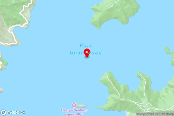
Port Underwood, Cook StraitRangitane Bay Area Map (Street)
Local Authority
Marlborough DistrictFull Address
Rangitane Bay, Marlborough District, New ZealandAddress Type
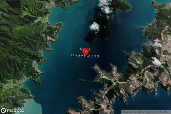
Coastal BayRangitane Bay Suburb Map (Satellite)
Country
Main Region in AU
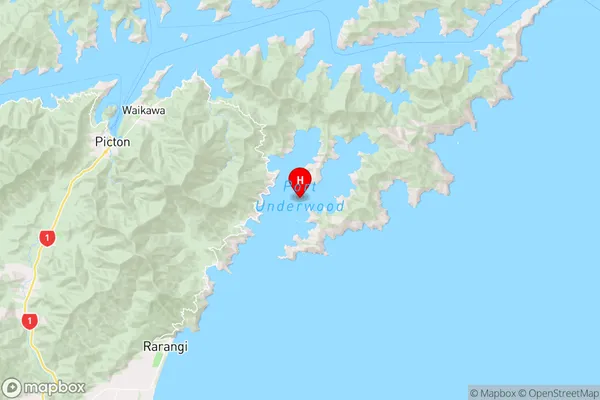
MarlboroughRangitane Bay Region Map
Coordinates
-41.3209311,174.13564577958 (latitude/longitude)Distances
The distance from Rangitane Bay, , Marlborough District to NZ Top 10 Cities