Rangihoua Bay Area, Rangihoua Bay Postcode & Map in Rangihoua Bay
Rangihoua Bay Area, Rangihoua Bay Postcode & Map in Rangihoua Bay, Far North District, New Zealand
Rangihoua Bay, Far North District, New Zealand
Rangihoua Bay Area (estimated)
0.9 square kilometersRangihoua Bay Population (estimated)
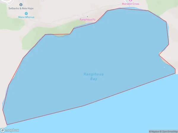
0 people live in Rangihoua Bay, Bay of Islands-Whangaroa Community, NZRangihoua Bay Suburb Area Map (Polygon)
Rangihoua Bay Introduction
Rangihoua Bay is a picturesque bay located in Northland, New Zealand. It is known for its stunning turquoise waters, white sandy beaches, and diverse marine life. The bay is a popular spot for swimming, snorkeling, and kayaking, and is home to a small community of residents. The surrounding area is also home to several important historical sites, including the Rangihoua Pa, a former Maori settlement.Region
Major City
Suburb Name
Rangihoua BayOther Name(s)
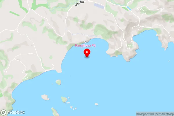
Bay Of IslandsRangihoua Bay Area Map (Street)
Local Authority
Far North DistrictFull Address
Rangihoua Bay, Far North District, New ZealandAddress Type
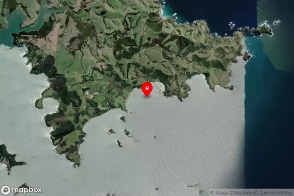
Coastal BayRangihoua Bay Suburb Map (Satellite)
Country
Main Region in AU
NorthlandRangihoua Bay Region Map

Coordinates
-35.174124,174.0922866 (latitude/longitude)Distances
The distance from Rangihoua Bay, , Far North District to NZ Top 10 Cities