Te Tahuna o Rangataua Area, Te Tahuna o Rangataua Postcode(3175) & Map in Te Tahuna o Rangataua
Te Tahuna o Rangataua Area, Te Tahuna o Rangataua Postcode(3175) & Map in Te Tahuna o Rangataua, Tauranga City, New Zealand
Te Tahuna o Rangataua, Tauranga City, New Zealand
Te Tahuna o Rangataua Postcodes
Te Tahuna o Rangataua Area (estimated)
8.9 square kilometersTe Tahuna o Rangataua Population (estimated)
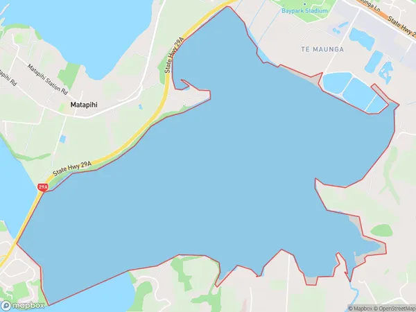
0 people live in Te Tahuna o Rangataua, Tauranga, NZTe Tahuna o Rangataua Suburb Area Map (Polygon)
Te Tahuna o Rangataua Introduction
Te Tahuna o Rangataua is a small coastal town in the Bay of Plenty, New Zealand. It is known for its beautiful beaches, clear waters, and stunning natural scenery. The town has a population of around 1,000 people and is a popular destination for tourists and locals alike. It is located on the eastern coast of the Bay of Plenty and is surrounded by picturesque farmland and forests. The town has a number of cafes, restaurants, and shops, as well as a community hall and a library.Region
Major City
Suburb Name
Te Tahuna o Rangataua (Maori Name: Te Tāhuna o Rangataua)Other Name(s)
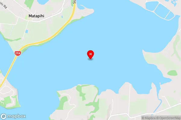
Tauranga Harbour, Rangataua BayTe Tahuna o Rangataua Area Map (Street)
Local Authority
Tauranga CityFull Address
Te Tahuna o Rangataua, Tauranga City, New ZealandAddress Type
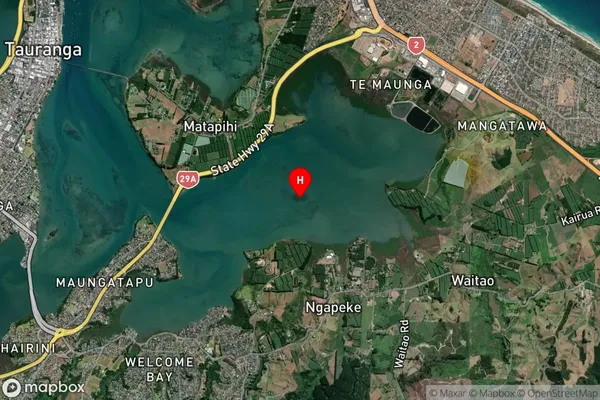
Coastal BayTe Tahuna o Rangataua Suburb Map (Satellite)
Country
Main Region in AU
Bay of PlentyTe Tahuna o Rangataua Region Map

Coordinates
-37.7063932,176.2116157 (latitude/longitude)Distances
The distance from Te Tahuna o Rangataua, , Tauranga City to NZ Top 10 Cities