Kohatupapa / Ranfurly Bay Area, Kohatupapa / Ranfurly Bay Postcode(0479) & Map in Kohatupapa / Ranfurly Bay
Kohatupapa / Ranfurly Bay Area, Kohatupapa / Ranfurly Bay Postcode(0479) & Map in Kohatupapa / Ranfurly Bay, Far North District, New Zealand
Kohatupapa / Ranfurly Bay, Far North District, New Zealand
Kohatupapa / Ranfurly Bay Postcodes
Kohatupapa / Ranfurly Bay Area (estimated)
0.1 square kilometersKohatupapa / Ranfurly Bay Population (estimated)
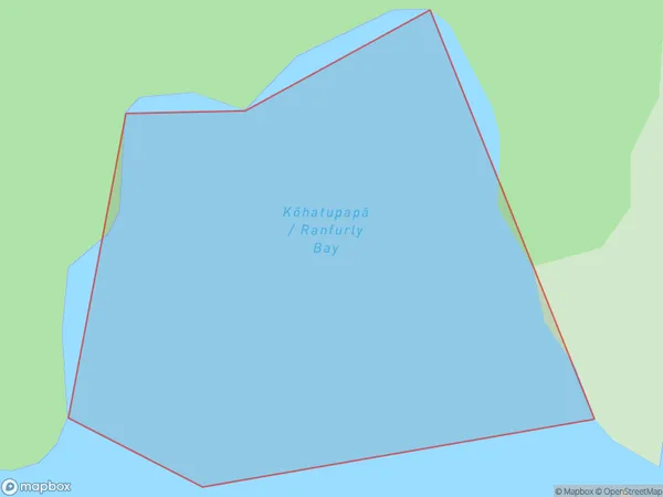
0 people live in Kohatupapa / Ranfurly Bay, Bay of Islands-Whangaroa Community, NZKohatupapa / Ranfurly Bay Suburb Area Map (Polygon)
Kohatupapa / Ranfurly Bay Introduction
Kohatupapa / Ranfurly Bay is a small rural community in Northland, New Zealand. It is located on the coast of the Bay of Islands and is known for its beautiful beaches, stunning natural scenery, and friendly locals. The community is home to a small school, a post office, a supermarket, and a few cafes and restaurants. Visitors can explore the nearby hiking trails, visit the historic Kohatupapa Village, or relax on the beach and enjoy the clear waters of the Bay of Islands.Region
Major City
Suburb Name
Kohatupapa / Ranfurly Bay (Maori Name: Kōhatupapā / Ranfurly Bay)Other Name(s)
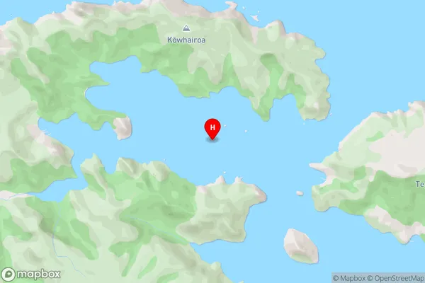
Pekapeka BayKohatupapa / Ranfurly Bay Area Map (Street)
Local Authority
Far North DistrictFull Address
Kohatupapa / Ranfurly Bay, Far North District, New ZealandAddress Type
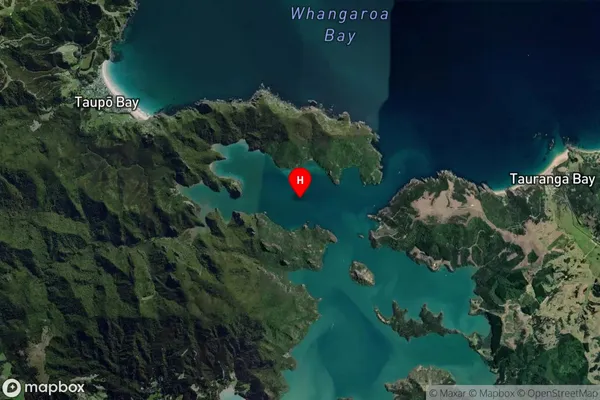
Coastal BayKohatupapa / Ranfurly Bay Suburb Map (Satellite)
Country
Main Region in AU
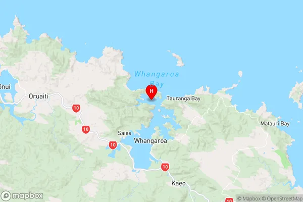
NorthlandKohatupapa / Ranfurly Bay Region Map
Coordinates
-35.0088856,173.7433757 (latitude/longitude)Distances
The distance from Kohatupapa / Ranfurly Bay, , Far North District to NZ Top 10 Cities