Rakaiaho Bay Area, Rakaiaho Bay Postcode(4108) & Map in Rakaiaho Bay
Rakaiaho Bay Area, Rakaiaho Bay Postcode(4108) & Map in Rakaiaho Bay, Wairoa District, New Zealand
Rakaiaho Bay, Wairoa District, New Zealand
Rakaiaho Bay Postcodes
Rakaiaho Bay Area (estimated)
0.1 square kilometersRakaiaho Bay Population (estimated)
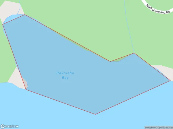
0 people live in Rakaiaho Bay, Hawke's Bay, NZRakaiaho Bay Suburb Area Map (Polygon)
Rakaiaho Bay Introduction
Rakaiaho Bay is a small, sheltered bay located in the Hawke's Bay region of New Zealand. It is known for its peaceful atmosphere, stunning coastal scenery, and popular fishing spot. The bay is surrounded by native trees and shrubs, and it is home to a variety of bird species, including kereru, tui, and pukeko. Rakaiaho Bay is a popular destination for outdoor activities such as hiking, kayaking, and fishing, and it is also a popular spot for picnics and barbecues.Region
Suburb Name
Rakaiaho BayOther Name(s)
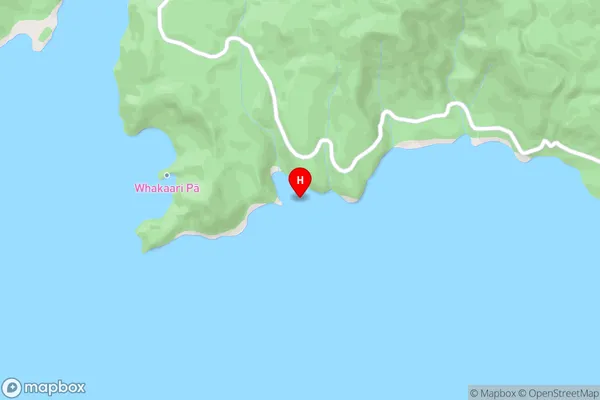
Lake WaikaremoanaRakaiaho Bay Area Map (Street)
Local Authority
Wairoa DistrictFull Address
Rakaiaho Bay, Wairoa District, New ZealandAddress Type
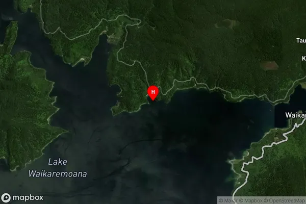
Inland BayRakaiaho Bay Suburb Map (Satellite)
Country
Main Region in AU
Hawke's BayRakaiaho Bay Region Map

Coordinates
-38.7505815,177.1034478 (latitude/longitude)Distances
The distance from Rakaiaho Bay, , Wairoa District to NZ Top 10 Cities