Rahuiroa Bay Area, Rahuiroa Bay Postcode(3010) & Map in Rahuiroa Bay
Rahuiroa Bay Area, Rahuiroa Bay Postcode(3010) & Map in Rahuiroa Bay, Rotorua District, New Zealand
Rahuiroa Bay, Rotorua District, New Zealand
Rahuiroa Bay Postcodes
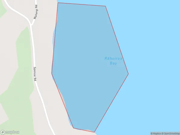
Rahuiroa Bay Area (estimated)
0.2 square kilometersRahuiroa Bay Population (estimated)
0 people live in Rahuiroa Bay, Bay of Plenty, NZRahuiroa Bay Suburb Area Map (Polygon)
Rahuiroa Bay Introduction
Rahuiroa Bay is a picturesque beach located in the Bay of Plenty, New Zealand. It is known for its white sand, clear waters, and stunning coastal views. The bay is a popular spot for swimming, snorkeling, and kayaking, and it is surrounded by native forests and picturesque farmland. The bay has a rich cultural history, with several ancient pa sites located nearby.Region
Suburb Name
Rahuiroa Bay (Maori Name: Rāhuiroa Bay)Other Name(s)
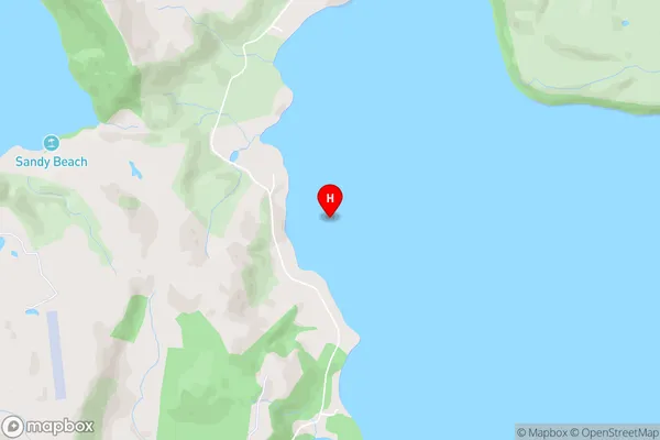
Lake TaraweraRahuiroa Bay Area Map (Street)
Local Authority
Rotorua DistrictFull Address
Rahuiroa Bay, Rotorua District, New ZealandAddress Type
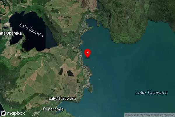
Inland BayRahuiroa Bay Suburb Map (Satellite)
Country
Main Region in AU
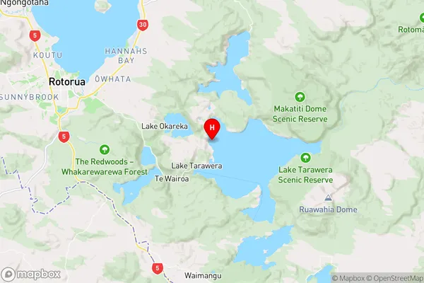
Bay of PlentyRahuiroa Bay Region Map
Coordinates
-38.1837789,176.3938878 (latitude/longitude)Distances
The distance from Rahuiroa Bay, , Rotorua District to NZ Top 10 Cities