Purau Bay Area, Purau Bay Postcode(8972) & Map in Purau Bay
Purau Bay Area, Purau Bay Postcode(8972) & Map in Purau Bay, Christchurch City, New Zealand
Purau Bay, Christchurch City, New Zealand
Purau Bay Postcodes
Purau Bay Area (estimated)
1.6 square kilometersPurau Bay Population (estimated)
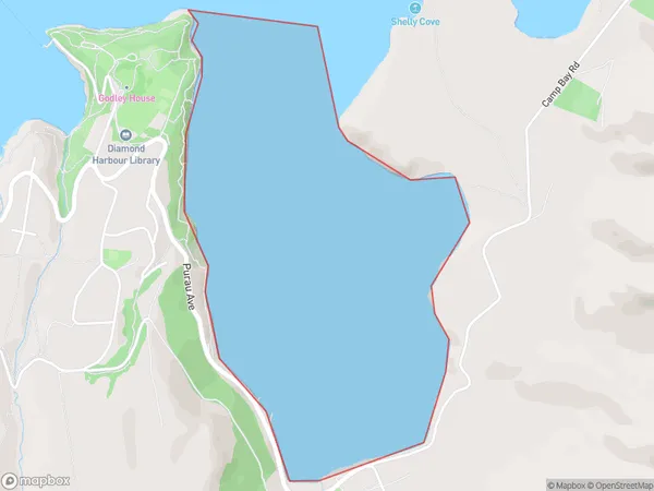
0 people live in Purau Bay, Banks Peninsula Community, NZPurau Bay Suburb Area Map (Polygon)
Purau Bay Introduction
Purau Bay is a small, sheltered bay located in the Canterbury region of New Zealand. It is known for its peaceful atmosphere, stunning natural beauty, and popular with tourists and locals alike. The bay is surrounded by rugged cliffs and lush green forests, and offers a range of recreational activities, including swimming, kayaking, and fishing. There are also several walking trails that lead through the surrounding countryside, providing breathtaking views of the bay and its surroundings.Region
Major City
Suburb Name
Purau BayOther Name(s)
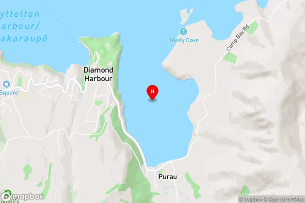
Lyttelton Harbour/Whakaraupo (Maori Name: Lyttelton Harbour/Whakaraupō)Purau Bay Area Map (Street)
Local Authority
Christchurch CityFull Address
Purau Bay, Christchurch City, New ZealandAddress Type
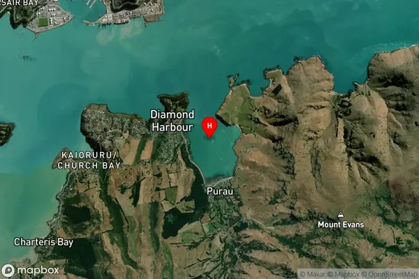
Coastal BayPurau Bay Suburb Map (Satellite)
Country
Main Region in AU
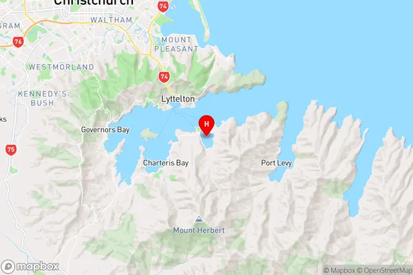
CanterburyPurau Bay Region Map
Coordinates
-43.6305334,172.7490886 (latitude/longitude)Distances
The distance from Purau Bay, , Christchurch City to NZ Top 10 Cities