Pukapuka Inlet Area, Pukapuka Inlet Postcode(0983) & Map in Pukapuka Inlet
Pukapuka Inlet Area, Pukapuka Inlet Postcode(0983) & Map in Pukapuka Inlet, Auckland, New Zealand
Pukapuka Inlet, Auckland, New Zealand
Pukapuka Inlet Postcodes
Pukapuka Inlet Area (estimated)
3.2 square kilometersPukapuka Inlet Population (estimated)
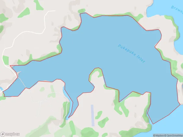
0 people live in Pukapuka Inlet, Rodney, NZPukapuka Inlet Suburb Area Map (Polygon)
Pukapuka Inlet Introduction
Pukapuka Inlet is a small, sheltered inlet on the northern coast of Auckland, New Zealand. It is known for its stunning natural beauty, including rugged cliffs, crystal-clear waters, and a diverse range of marine life. The inlet is a popular spot for kayaking, snorkeling, and fishing, and is also home to a small community of native birds.Region
Major City
Suburb Name
Pukapuka InletOther Name(s)
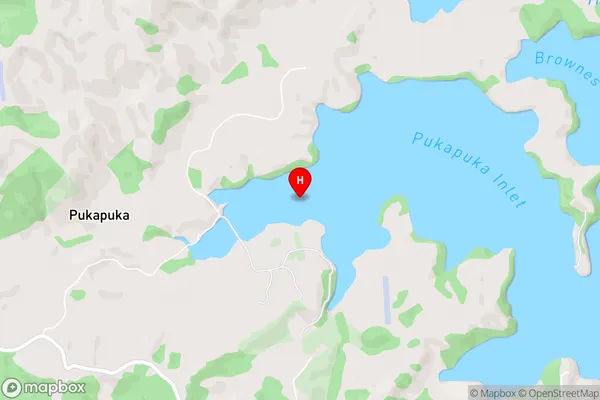
Mahurangi Harbour, Hauraki GulfPukapuka Inlet Area Map (Street)
Local Authority
AucklandFull Address
Pukapuka Inlet, Auckland, New ZealandAddress Type
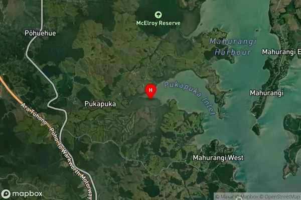
Coastal BayPukapuka Inlet Suburb Map (Satellite)
Country
Main Region in AU
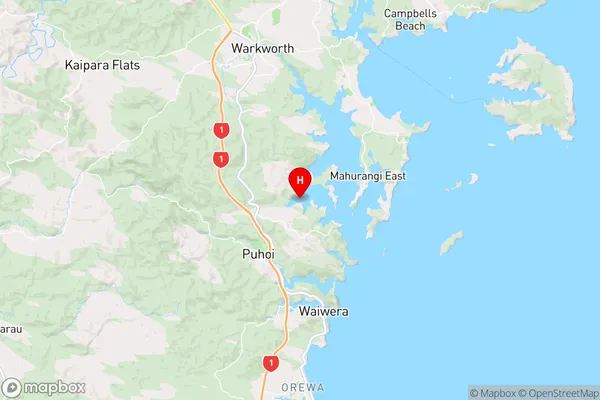
AucklandPukapuka Inlet Region Map
Coordinates
-36.48225575,174.689772990279 (latitude/longitude)Distances
The distance from Pukapuka Inlet, , Auckland to NZ Top 10 Cities