Prospectors Bay Area, Prospectors Bay Postcode(9600) & Map in Prospectors Bay
Prospectors Bay Area, Prospectors Bay Postcode(9600) & Map in Prospectors Bay, Southland District, New Zealand
Prospectors Bay, Southland District, New Zealand
Prospectors Bay Postcodes
Prospectors Bay Area (estimated)
0.1 square kilometersProspectors Bay Population (estimated)
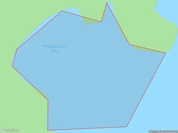
0 people live in Prospectors Bay, Fiordland Community, NZProspectors Bay Suburb Area Map (Polygon)
Prospectors Bay Introduction
Prospectors Bay is a small settlement on the southern coast of New Zealand's Southland region. It is located near the mouth of the Otaio River and is popular with tourists and outdoor enthusiasts. The area is known for its stunning natural beauty, including rugged mountains, pristine lakes, and dense forests. Prospectors Bay was once a busy gold-mining town, but today it is a quiet and peaceful community with a population of around 50 people.Region
Major City
Suburb Name
Prospectors BayOther Name(s)
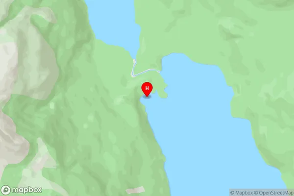
North West Arm, Middle Fiord, Lake Te AnauProspectors Bay Area Map (Street)
Local Authority
Southland DistrictFull Address
Prospectors Bay, Southland District, New ZealandAddress Type
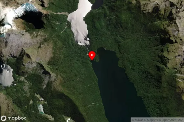
Inland BayProspectors Bay Suburb Map (Satellite)
Country
Main Region in AU
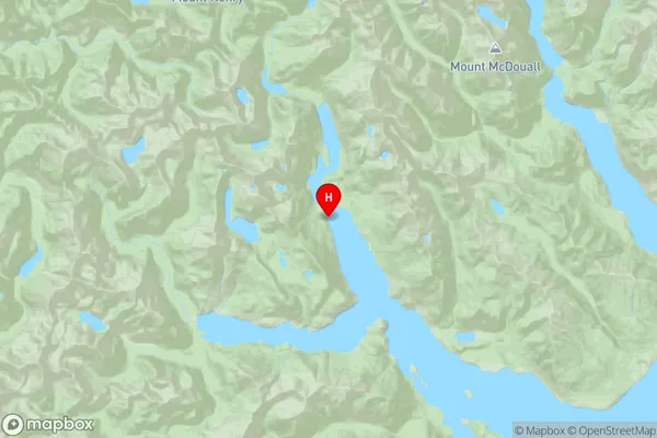
SouthlandProspectors Bay Region Map
Coordinates
-45.097351,167.572948 (latitude/longitude)Distances
The distance from Prospectors Bay, , Southland District to NZ Top 10 Cities