Avonside Area, Avonside Postcode(8061) & Map in Avonside
Avonside Area, Avonside Postcode(8061) & Map in Avonside, Christchurch City, New Zealand
Avonside, Christchurch City, New Zealand
Avonside Area (estimated)
1.5 square kilometersAvonside Population (estimated)
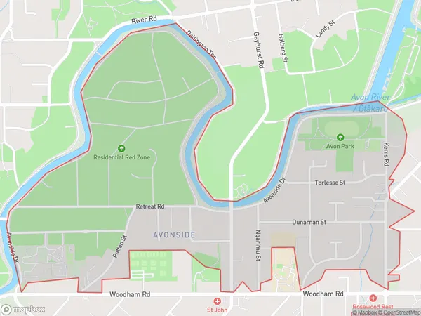
1497 people live in Avonside, Linwood-Central-Heathcote Community, NZAvonside Suburb Area Map (Polygon)
Avonside Introduction
Avonside is a suburb of Christchurch, New Zealand, located in the eastern suburbs of the city. It is known for its historic homes, leafy streets, and vibrant community. The suburb was established in the 1850s and has a rich history, with many of its buildings dating back to that time. Avonside is home to a variety of shops, cafes, and restaurants, as well as several parks and recreational facilities. It is also well-connected to the rest of the city, with easy access to the motorway and public transport.Region
Major City
Suburb Name
AvonsideOther Name(s)
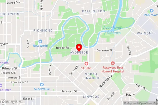
North LinwoodAvonside Area Map (Street)
Local Authority
Christchurch CityFull Address
Avonside, Christchurch City, New ZealandAddress Type
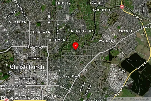
Suburb in City ChristchurchAvonside Suburb Map (Satellite)
Country
Main Region in AU
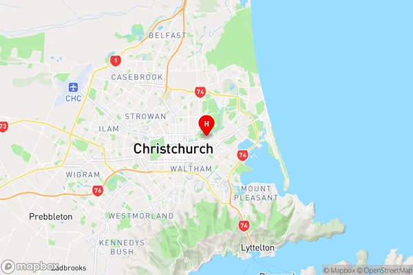
CanterburyAvonside Region Map
Coordinates
-43.522814,172.6695907 (latitude/longitude)Distances
The distance from Avonside, Christchurch, Christchurch City to NZ Top 10 Cities