Poukoura Bay Area, Poukoura Bay Postcode & Map in Poukoura Bay
Poukoura Bay Area, Poukoura Bay Postcode & Map in Poukoura Bay, Far North District, New Zealand
Poukoura Bay, Far North District, New Zealand
Poukoura Bay Area (estimated)
2.3 square kilometersPoukoura Bay Population (estimated)
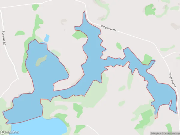
0 people live in Poukoura Bay, Bay of Islands-Whangaroa Community, NZPoukoura Bay Suburb Area Map (Polygon)
Poukoura Bay Introduction
Poukoura Bay is a small bay located in the Northland region of New Zealand. It is known for its stunning natural beauty, including crystal-clear waters, rugged cliffs, and lush forests. The bay is a popular spot for swimming, kayaking, and fishing, and is home to a variety of marine species. It is also a popular destination for tourists who want to explore the natural wonders of Northland.Region
Major City
Suburb Name
Poukoura BayOther Name(s)
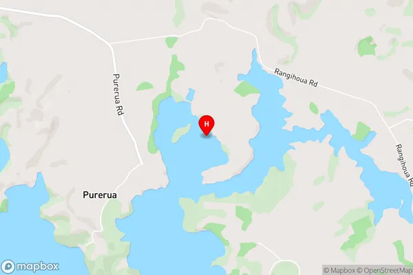
Bay Of Islands, Poukoura InletPoukoura Bay Area Map (Street)
Local Authority
Far North DistrictFull Address
Poukoura Bay, Far North District, New ZealandAddress Type
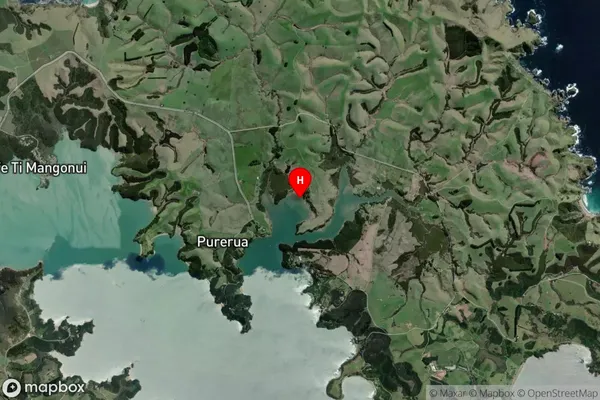
Coastal BayPoukoura Bay Suburb Map (Satellite)
Country
Main Region in AU
NorthlandPoukoura Bay Region Map

Coordinates
-35.149272,174.048444 (latitude/longitude)Distances
The distance from Poukoura Bay, , Far North District to NZ Top 10 Cities