Potoorangi Bay Area, Potoorangi Bay Postcode & Map in Potoorangi Bay
Potoorangi Bay Area, Potoorangi Bay Postcode & Map in Potoorangi Bay, Waikato District, New Zealand
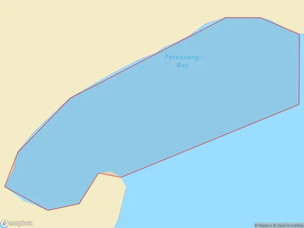
Potoorangi Bay, Waikato District, New Zealand
Potoorangi Bay Area (estimated)
0.4 square kilometersPotoorangi Bay Population (estimated)
0 people live in Potoorangi Bay, Waikato, NZPotoorangi Bay Suburb Area Map (Polygon)
Potoorangi Bay Introduction
Potoorangi Bay is a small, sheltered bay located in the Waikato region of New Zealand. It is known for its clear waters, sandy beaches, and stunning coastal scenery. The bay is a popular spot for swimming, kayaking, and fishing, and is home to a small community of residents. The bay is also home to a significant bird sanctuary, with over 100 species of birds known to inhabit the area.Region
Suburb Name
Potoorangi BayOther Name(s)
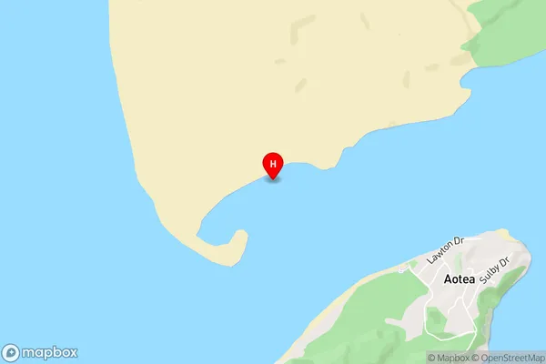
Aotea HarbourPotoorangi Bay Area Map (Street)
Local Authority
Waikato DistrictFull Address
Potoorangi Bay, Waikato District, New ZealandAddress Type
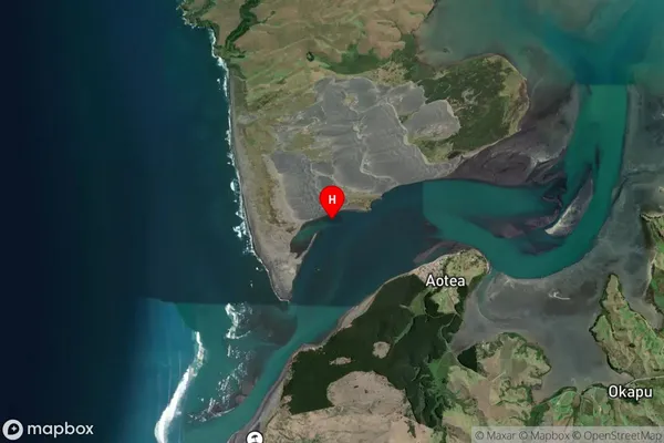
Coastal BayPotoorangi Bay Suburb Map (Satellite)
Country
Main Region in AU
WaikatoPotoorangi Bay Region Map

Coordinates
-38.0030008,174.8039978 (latitude/longitude)Distances
The distance from Potoorangi Bay, , Waikato District to NZ Top 10 Cities