Potiki Bay Area, Potiki Bay Postcode & Map in Potiki Bay
Potiki Bay Area, Potiki Bay Postcode & Map in Potiki Bay, Area outside Territorial Authority, New Zealand
Potiki Bay, Area outside Territorial Authority, New Zealand
Potiki Bay Area (estimated)
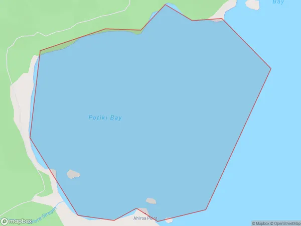
0.7 square kilometersPotiki Bay Population (estimated)
0 people live in Potiki Bay, Waikato, NZPotiki Bay Suburb Area Map (Polygon)
Potiki Bay Introduction
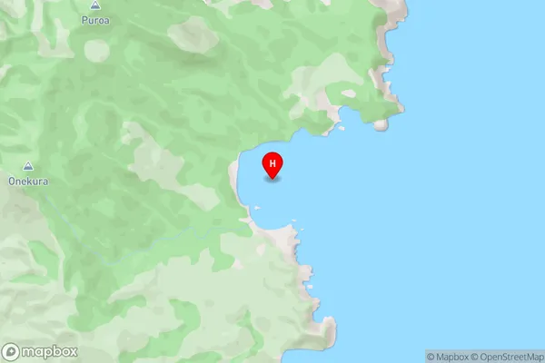
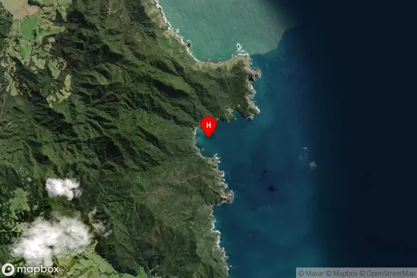
Potiki Bay is a small, sheltered bay on the Waikato coast of New Zealand. It is known for its clear waters, sandy beaches, and native forest. The bay is a popular spot for swimming, kayaking, and fishing, and is home to a small community of residents. The bay has a rich cultural history, with evidence of early Māori settlement and European exploration. It is also a significant conservation area, with several protected areas and reserves surrounding it.Region
Suburb Name
Potiki BayPotiki Bay Area Map (Street)
Local Authority
Area outside Territorial AuthorityFull Address
Potiki Bay, Area outside Territorial Authority, New ZealandAddress Type
Coastal BayPotiki Bay Suburb Map (Satellite)
Country
Main Region in AU
WaikatoPotiki Bay Region Map

Coordinates
-36.5562736,175.5229596 (latitude/longitude)Distances
The distance from Potiki Bay, , Area outside Territorial Authority to NZ Top 10 Cities