Port of Napier Area, Port of Napier Postcode(4110) & Map in Port of Napier
Port of Napier Area, Port of Napier Postcode(4110) & Map in Port of Napier, Area outside Territorial Authority, New Zealand
Port of Napier, Area outside Territorial Authority, New Zealand
Port of Napier Postcodes
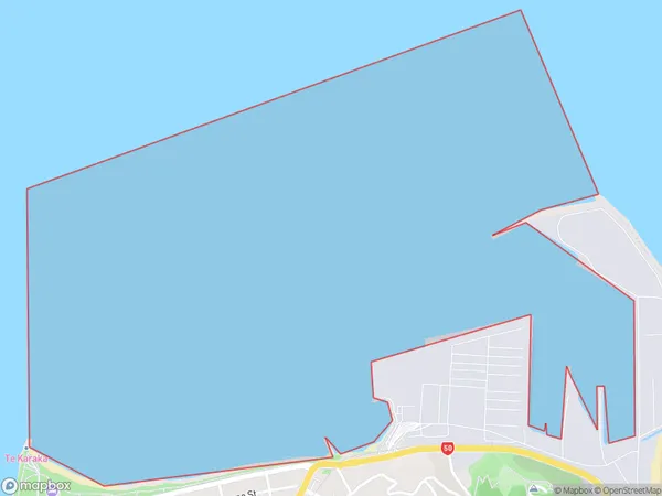
Port of Napier Area (estimated)
3.0 square kilometersPort of Napier Population (estimated)
0 people live in Port of Napier, Hawke's Bay, NZPort of Napier Suburb Area Map (Polygon)
Port of Napier Introduction
The Port of Napier is New Zealand's largest and busiest container port, located in Hawke's Bay. It handles over 90% of the country's container traffic and is a major hub for trade with Asia. The port is home to a diverse range of businesses, including shipping lines, freight forwarders, and container terminal operators. It has a modern infrastructure and is committed to sustainability, with initiatives in place to reduce its environmental impact.Region
Suburb Name
Port of NapierOther Name(s)
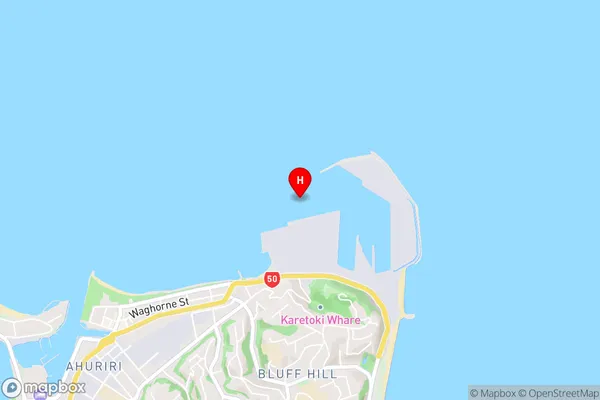
Hawke BayPort of Napier Area Map (Street)
Local Authority
Area outside Territorial AuthorityFull Address
Port of Napier, Area outside Territorial Authority, New ZealandAddress Type
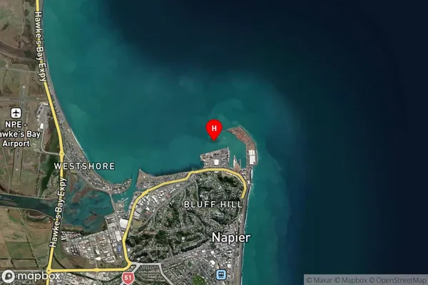
Coastal BayPort of Napier Suburb Map (Satellite)
Country
Main Region in AU
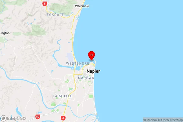
Hawke's BayPort of Napier Region Map
Coordinates
-39.472571,176.913772 (latitude/longitude)Distances
The distance from Port of Napier, , Area outside Territorial Authority to NZ Top 10 Cities