Poley Bay Area, Poley Bay Postcode & Map in Poley Bay
Poley Bay Area, Poley Bay Postcode & Map in Poley Bay, Area outside Territorial Authority, New Zealand
Poley Bay, Area outside Territorial Authority, New Zealand
Poley Bay Area (estimated)
0.1 square kilometersPoley Bay Population (estimated)
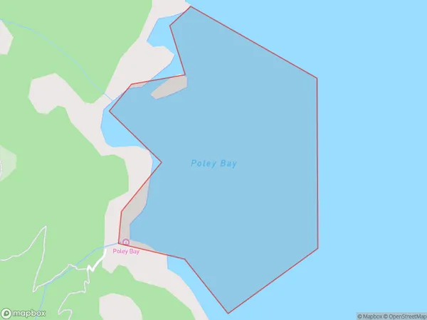
0 people live in Poley Bay, Waikato, NZPoley Bay Suburb Area Map (Polygon)
Poley Bay Introduction
Poley Bay is a small settlement on the western coast of the Waikato region of New Zealand. It is located about 30 kilometers south of Hamilton and 10 kilometers north of Otorohanga. The bay is known for its stunning natural beauty, with crystal-clear waters and a rugged coastline. It is a popular destination for fishing, boating, and hiking, and has a small community with a primary school, a church, and a few shops.Region
Suburb Name
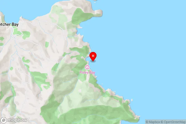
Poley BayPoley Bay Area Map (Street)
Local Authority
Area outside Territorial AuthorityFull Address
Poley Bay, Area outside Territorial Authority, New ZealandAddress Type
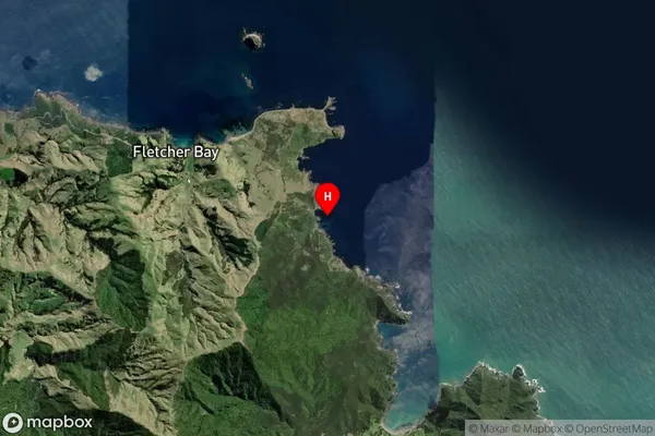
Coastal BayPoley Bay Suburb Map (Satellite)
Country
Main Region in AU
WaikatoPoley Bay Region Map

Coordinates
-36.484556,175.413111 (latitude/longitude)Distances
The distance from Poley Bay, , Area outside Territorial Authority to NZ Top 10 Cities