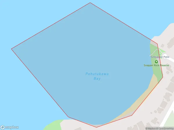
Pohutukawa Bay Area, Pohutukawa Bay Postcode(2018) & Map in Pohutukawa Bay
Pohutukawa Bay Area, Pohutukawa Bay Postcode(2018) & Map in Pohutukawa Bay, Auckland, New Zealand
Pohutukawa Bay, Auckland, New Zealand
Pohutukawa Bay Postcodes
Pohutukawa Bay Area (estimated)
0.1 square kilometersPohutukawa Bay Population (estimated)
0 people live in Pohutukawa Bay, Franklin, NZPohutukawa Bay Suburb Area Map (Polygon)
Pohutukawa Bay Introduction
Pohutukawa Bay is a picturesque coastal bay located in Auckland, New Zealand. It is known for its stunning coastal scenery, including lush greenery, picturesque cliffs, and crystal-clear waters. The bay is a popular spot for swimming, kayaking, and sailing and is home to a diverse range of marine life, including penguins, seals, and fish. It is also a significant conservation area, with many native plant and bird species found in the surrounding area.Region
Major City
Suburb Name
Pohutukawa BayOther Name(s)
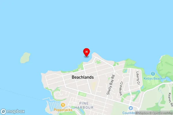
Hauraki GulfPohutukawa Bay Area Map (Street)
Local Authority
AucklandFull Address
Pohutukawa Bay, Auckland, New ZealandAddress Type
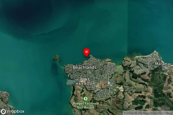
Coastal BayPohutukawa Bay Suburb Map (Satellite)
Country
Main Region in AU
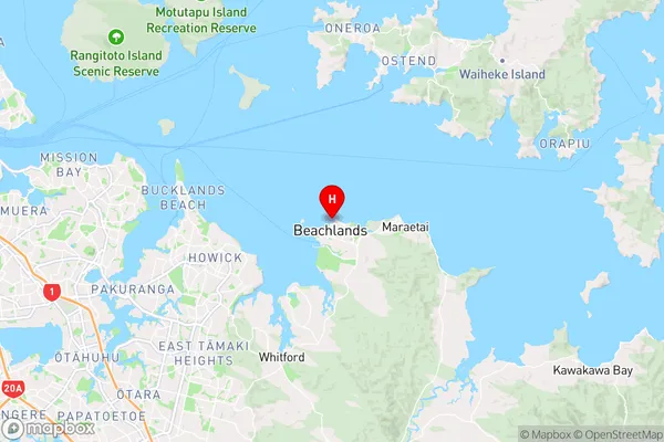
AucklandPohutukawa Bay Region Map
Coordinates
-36.8777663,174.9971838 (latitude/longitude)Distances
The distance from Pohutukawa Bay, , Auckland to NZ Top 10 Cities