Pirapu Bay Area, Pirapu Bay Postcode & Map in Pirapu Bay
Pirapu Bay Area, Pirapu Bay Postcode & Map in Pirapu Bay, Marlborough District, New Zealand
Pirapu Bay, Marlborough District, New Zealand
Pirapu Bay Area (estimated)
0.4 square kilometersPirapu Bay Population (estimated)
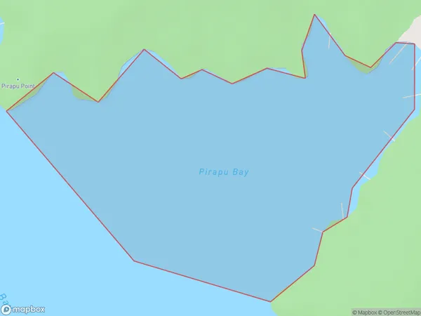
0 people live in Pirapu Bay, Marlborough, NZPirapu Bay Suburb Area Map (Polygon)
Pirapu Bay Introduction
Pirapu Bay is a popular spot for swimming, kayaking, and paddleboarding in Marlborough, New Zealand. It is known for its clear waters and stunning coastal scenery. The bay is also home to a variety of bird species, including penguins and sea birds. Visitors can take guided tours to learn more about the bay's history and wildlife.Region
Suburb Name
Pirapu BayOther Name(s)
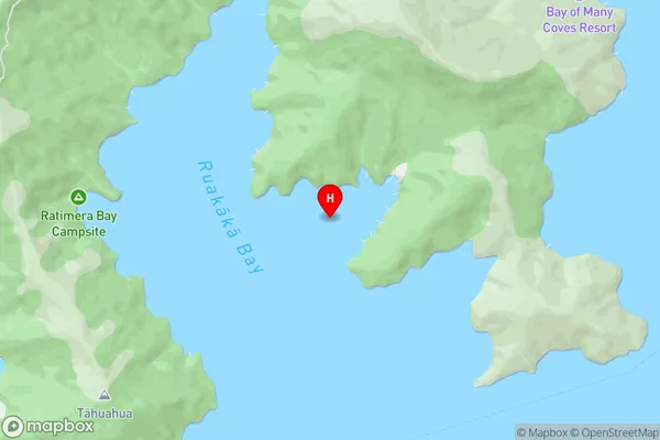
Ruakaka Bay, Queen Charlotte Sound (Totaranui) (Maori Name: Ruakākā Bay, Queen Charlotte Sound (Totaranui))Pirapu Bay Area Map (Street)
Local Authority
Marlborough DistrictFull Address
Pirapu Bay, Marlborough District, New ZealandAddress Type
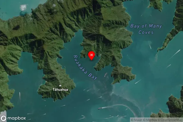
Coastal BayPirapu Bay Suburb Map (Satellite)
Country
Main Region in AU
MarlboroughPirapu Bay Region Map

Coordinates
-41.2059229,174.132211 (latitude/longitude)Distances
The distance from Pirapu Bay, , Marlborough District to NZ Top 10 Cities