Pipiroa Bay Area, Pipiroa Bay Postcode(0200) & Map in Pipiroa Bay
Pipiroa Bay Area, Pipiroa Bay Postcode(0200) & Map in Pipiroa Bay, Far North District, New Zealand
Pipiroa Bay, Far North District, New Zealand
Pipiroa Bay Postcodes
Pipiroa Bay Area (estimated)
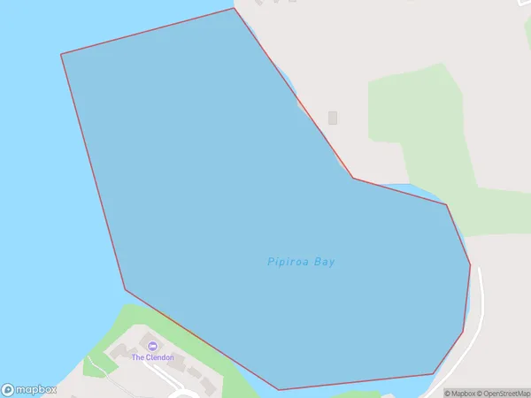
0.2 square kilometersPipiroa Bay Population (estimated)
0 people live in Pipiroa Bay, Bay of Islands-Whangaroa Community, NZPipiroa Bay Suburb Area Map (Polygon)
Pipiroa Bay Introduction
Pipiroa Bay is a picturesque bay located in the Northland region of New Zealand. It is known for its clear waters, sandy beaches, and stunning coastal scenery. The bay is a popular spot for swimming, kayaking, and fishing, and is home to a variety of marine species. It is also a popular destination for tourists, with several accommodation options and recreational facilities nearby.Region
Major City
Suburb Name
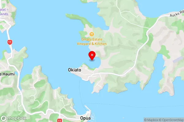
Pipiroa BayOther Name(s)
Bay Of IslandsPipiroa Bay Area Map (Street)
Local Authority
Far North DistrictFull Address
Pipiroa Bay, Far North District, New ZealandAddress Type
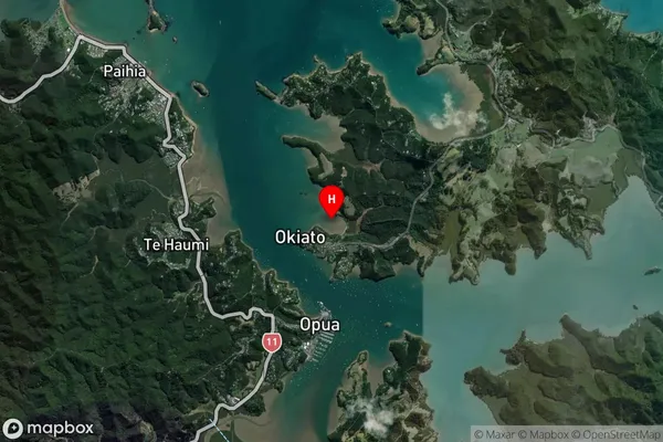
Coastal BayPipiroa Bay Suburb Map (Satellite)
Country
Main Region in AU
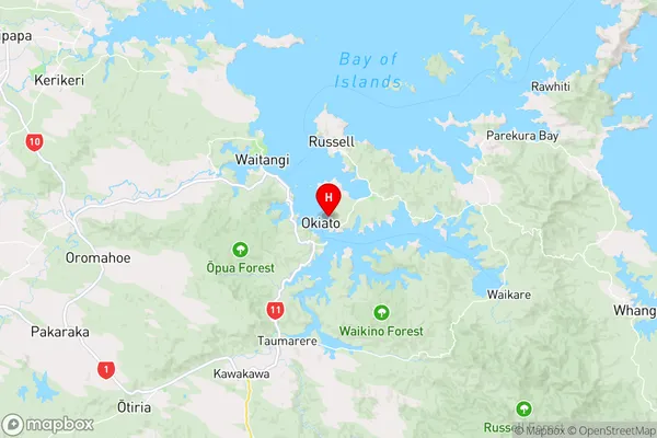
NorthlandPipiroa Bay Region Map
Coordinates
-35.3008647,174.1218397 (latitude/longitude)Distances
The distance from Pipiroa Bay, , Far North District to NZ Top 10 Cities