Pinafore Bay Area, Pinafore Bay Postcode(8081) & Map in Pinafore Bay
Pinafore Bay Area, Pinafore Bay Postcode(8081) & Map in Pinafore Bay, Hurunui District, New Zealand
Pinafore Bay, Hurunui District, New Zealand
Pinafore Bay Postcodes
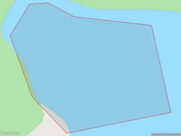
Pinafore Bay Area (estimated)
0.2 square kilometersPinafore Bay Population (estimated)
0 people live in Pinafore Bay, Canterbury, NZPinafore Bay Suburb Area Map (Polygon)
Pinafore Bay Introduction
Pinefore Bay is a small, peaceful bay located in the Canterbury region of New Zealand. It is known for its stunning natural beauty, including crystal-clear waters, rugged cliffs, and lush green vegetation. The bay is a popular spot for swimming, kayaking, and fishing, and it is also home to a small community of residents. The bay is surrounded by picturesque farmland and is located within easy reach of the city of Christchurch.Region
Suburb Name
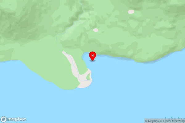
Pinafore BayOther Name(s)
Lake SumnerPinafore Bay Area Map (Street)
Local Authority
Hurunui DistrictFull Address
Pinafore Bay, Hurunui District, New ZealandAddress Type
Inland BayPinafore Bay Suburb Map (Satellite)

Country
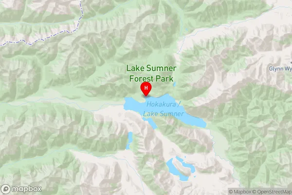
Main Region in AU
CanterburyPinafore Bay Region Map
Coordinates
-42.6914544,172.1916207 (latitude/longitude)Distances
The distance from Pinafore Bay, , Hurunui District to NZ Top 10 Cities