Lauder Area, Lauder Postcode & Map in Lauder
Lauder Area, Lauder Postcode & Map in Lauder, Central Otago District, New Zealand
Lauder, Central Otago District, New Zealand
Lauder Area (estimated)
50.6 square kilometersLauder Population (estimated)
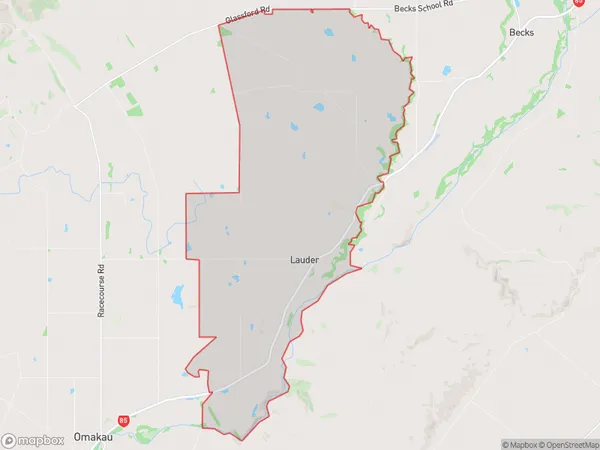
95 people live in Lauder, Vincent Community, NZLauder Suburb Area Map (Polygon)
Lauder Introduction
Lauder is a small rural town in Otago, New Zealand, located in the Omakau District. It is known for its scenic surroundings, including the Lauder Forest and the Omakau River. The town has a population of around 300 people and is a popular destination for outdoor enthusiasts and tourists.Region
Major City
Suburb Name
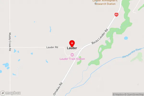
LauderLauder Area Map (Street)
Local Authority
Central Otago DistrictFull Address
Lauder, Central Otago District, New ZealandAddress Type
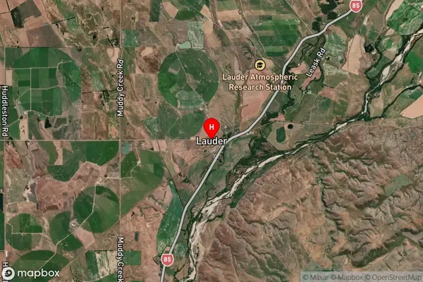
Locality in Major Locality OmakauLauder Suburb Map (Satellite)
Country
Main Region in AU
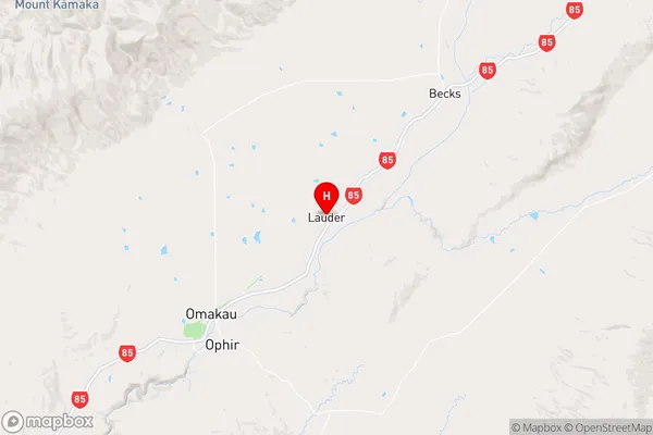
OtagoLauder Region Map
Coordinates
-45.0511876,169.6719184 (latitude/longitude)Distances
The distance from Lauder, Omakau, Central Otago District to NZ Top 10 Cities