Picnic Bay Area, Picnic Bay Postcode(7883) & Map in Picnic Bay
Picnic Bay Area, Picnic Bay Postcode(7883) & Map in Picnic Bay, Westland District, New Zealand
Picnic Bay, Westland District, New Zealand
Picnic Bay Postcodes
Picnic Bay Area (estimated)
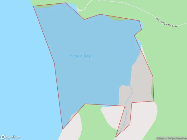
0.3 square kilometersPicnic Bay Population (estimated)
0 people live in Picnic Bay, West Coast, NZPicnic Bay Suburb Area Map (Polygon)
Picnic Bay Introduction
Picnic Bay is a small settlement on the West Coast of New Zealand's South Island. It is known for its stunning natural beauty, including a long stretch of sandy beach, rugged cliffs, and lush forest. The bay is a popular spot for swimming, surfing, and fishing, and there are several hiking trails in the area. The settlement also has a small community center with a convenience store and a pub.Region
Suburb Name
Picnic BayOther Name(s)
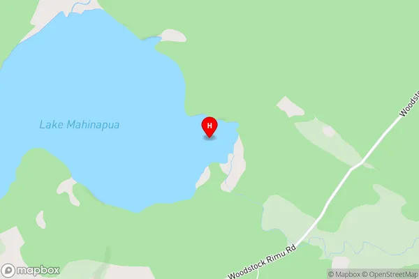
Lake MahinapuaPicnic Bay Area Map (Street)
Local Authority
Westland DistrictFull Address
Picnic Bay, Westland District, New ZealandAddress Type
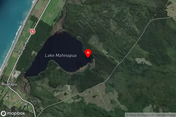
Inland BayPicnic Bay Suburb Map (Satellite)
Country
Main Region in AU
West CoastPicnic Bay Region Map

Coordinates
-42.7974914,170.9329509 (latitude/longitude)Distances
The distance from Picnic Bay, , Westland District to NZ Top 10 Cities