Picnic Bay Area, Picnic Bay Postcode & Map in Picnic Bay
Picnic Bay Area, Picnic Bay Postcode & Map in Picnic Bay, Marlborough District, New Zealand
Picnic Bay, Marlborough District, New Zealand
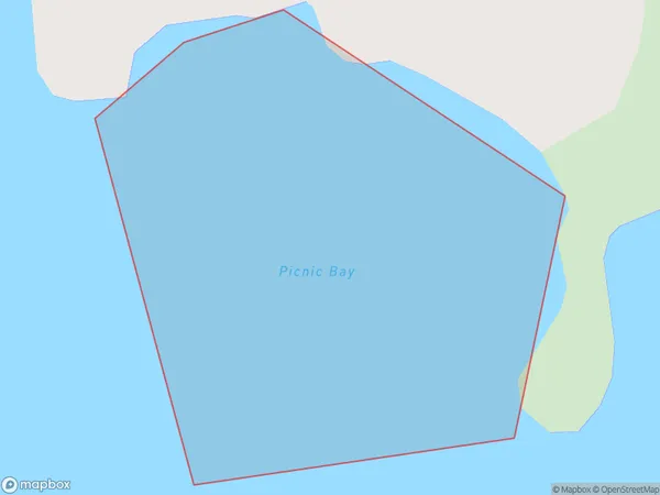
Picnic Bay Area (estimated)
0.1 square kilometersPicnic Bay Population (estimated)
0 people live in Picnic Bay, Marlborough, NZPicnic Bay Suburb Area Map (Polygon)
Picnic Bay Introduction
Picnic Bay is a popular beach in Marlborough, New Zealand, known for its clear waters, white sand, and stunning views of the Southern Alps. It is a popular spot for swimming, sunbathing, and water sports such as kayaking and paddleboarding. The bay also has a campground and a small village with a restaurant and convenience store.Region
Suburb Name
Picnic BayOther Name(s)
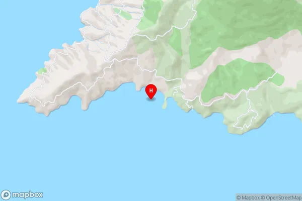
Tawhitinui ReachPicnic Bay Area Map (Street)
Local Authority
Marlborough DistrictFull Address
Picnic Bay, Marlborough District, New ZealandAddress Type
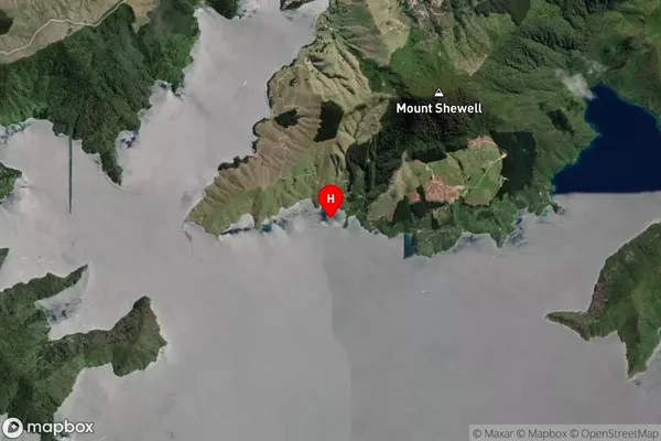
Coastal BayPicnic Bay Suburb Map (Satellite)
Country
Main Region in AU
MarlboroughPicnic Bay Region Map

Coordinates
-41.0178236,173.8362072 (latitude/longitude)Distances
The distance from Picnic Bay, , Marlborough District to NZ Top 10 Cities