Perkins Bay Area, Perkins Bay Postcode(0604) & Map in Perkins Bay
Perkins Bay Area, Perkins Bay Postcode(0604) & Map in Perkins Bay, Auckland, New Zealand
Perkins Bay, Auckland, New Zealand
Perkins Bay Postcodes
Perkins Bay Area (estimated)
0.0 square kilometersPerkins Bay Population (estimated)
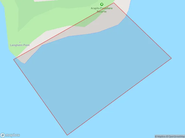
0 people live in Perkins Bay, Waitākere Ranges, NZPerkins Bay Suburb Area Map (Polygon)
Perkins Bay Introduction
Perkins Bay is a suburb of Auckland, New Zealand. It is located on the eastern coast of the Waitemata Harbour and is known for its beautiful beaches, parks, and recreational facilities. The area has a rich history and was once home to a large Maori community. It is also home to a popular yacht club and several marinas.Region
Major City
Suburb Name
Perkins BayOther Name(s)
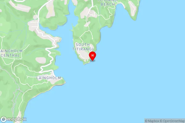
Manukau HarbourPerkins Bay Area Map (Street)
Local Authority
AucklandFull Address
Perkins Bay, Auckland, New ZealandAddress Type
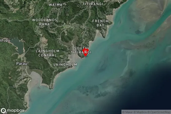
Coastal BayPerkins Bay Suburb Map (Satellite)
Country
Main Region in AU
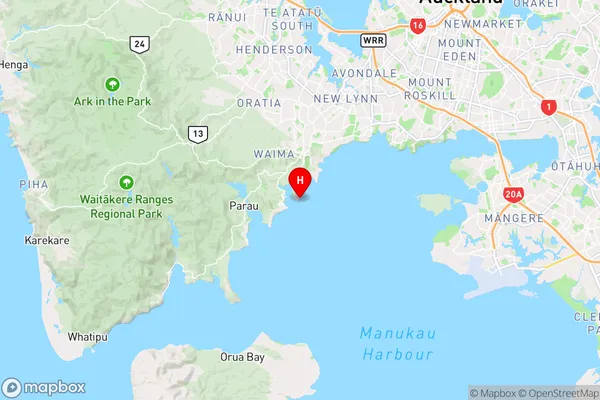
AucklandPerkins Bay Region Map
Coordinates
-36.9640359,174.6525857 (latitude/longitude)Distances
The distance from Perkins Bay, , Auckland to NZ Top 10 Cities