Pearl Harbour Area, Pearl Harbour Postcode(7969) & Map in Pearl Harbour
Pearl Harbour Area, Pearl Harbour Postcode(7969) & Map in Pearl Harbour, Southland District, New Zealand
Pearl Harbour, Southland District, New Zealand
Pearl Harbour Postcodes
Pearl Harbour Area (estimated)
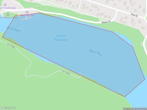
0.2 square kilometersPearl Harbour Population (estimated)
0 people live in Pearl Harbour, Fiordland Community, NZPearl Harbour Suburb Area Map (Polygon)
Pearl Harbour Introduction
Pearl Harbour is a small coastal settlement in Southland, New Zealand. It is known for its historic Pearl Harbour Memorial Park, which commemorates the 1941 Japanese attack on the United States naval base during World War II. The park features a number of memorials, including the USS Arizona Memorial, which stands over the wreck of the battleship that sank during the attack. Pearl Harbour is also home to a number of important historical sites, including the New Zealand Marine Museum and the Historic Village.Region
Major City
Suburb Name
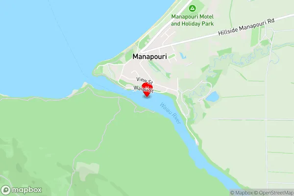
Pearl HarbourPearl Harbour Area Map (Street)
Local Authority
Southland DistrictFull Address
Pearl Harbour, Southland District, New ZealandAddress Type
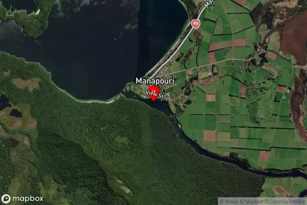
Inland BayPearl Harbour Suburb Map (Satellite)
Country
Main Region in AU
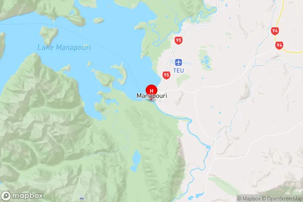
SouthlandPearl Harbour Region Map
Coordinates
-45.5702334,167.6129372 (latitude/longitude)Distances
The distance from Pearl Harbour, , Southland District to NZ Top 10 Cities