Paturoa Bay Area, Paturoa Bay Postcode(0604) & Map in Paturoa Bay
Paturoa Bay Area, Paturoa Bay Postcode(0604) & Map in Paturoa Bay, Auckland, New Zealand
Paturoa Bay, Auckland, New Zealand
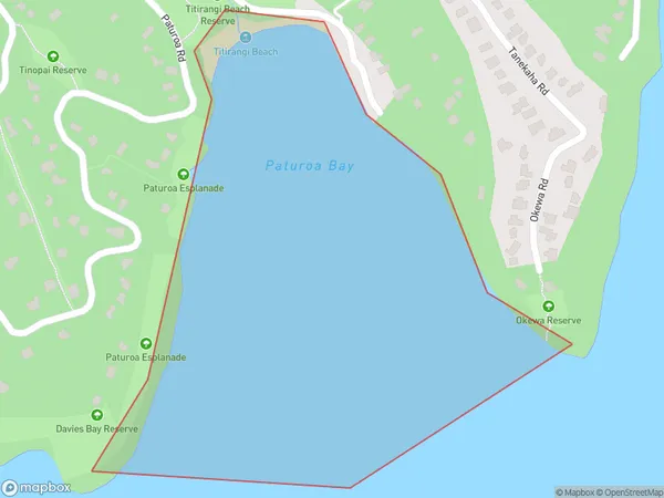
Paturoa Bay Postcodes
Paturoa Bay Area (estimated)
0.3 square kilometersPaturoa Bay Population (estimated)
0 people live in Paturoa Bay, Waitākere Ranges, NZPaturoa Bay Suburb Area Map (Polygon)
Paturoa Bay Introduction
Paturoa Bay is a picturesque, sheltered bay located on the Hibiscus Coast of Auckland, New Zealand. It is known for its crystal-clear waters, white sand beaches, and stunning coastal scenery. The bay is a popular spot for swimming, kayaking, and paddleboarding, and it is also home to a small community of residents. The bay is surrounded by native bush and has a rich history and cultural significance to the local Maori people.Region
Major City
Suburb Name
Paturoa BayOther Name(s)
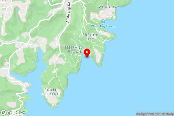
Manukau HarbourPaturoa Bay Area Map (Street)
Local Authority
AucklandFull Address
Paturoa Bay, Auckland, New ZealandAddress Type
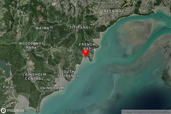
Coastal BayPaturoa Bay Suburb Map (Satellite)
Country
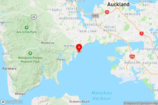
Main Region in AU
AucklandPaturoa Bay Region Map
Coordinates
-36.9527555,174.6605372 (latitude/longitude)Distances
The distance from Paturoa Bay, , Auckland to NZ Top 10 Cities