Patunui Bay Area, Patunui Bay Postcode & Map in Patunui Bay
Patunui Bay Area, Patunui Bay Postcode & Map in Patunui Bay, Far North District, New Zealand
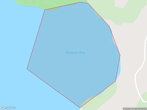
Patunui Bay, Far North District, New Zealand
Patunui Bay Area (estimated)
0.3 square kilometersPatunui Bay Population (estimated)
0 people live in Patunui Bay, Bay of Islands-Whangaroa Community, NZPatunui Bay Suburb Area Map (Polygon)
Patunui Bay Introduction
Patunui Bay is a picturesque bay located in the Northland region of New Zealand. It is known for its stunning turquoise waters, white sandy beaches, and diverse marine life. The bay is a popular spot for swimming, snorkeling, and kayaking, and it is also home to a small community of people who live in the surrounding areas.Region
Major City
Suburb Name
Patunui BayOther Name(s)
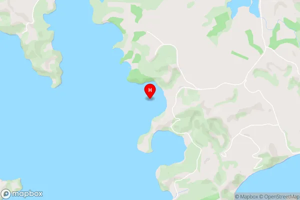
Te Puna Inlet, Bay Of IslandsPatunui Bay Area Map (Street)
Local Authority
Far North DistrictFull Address
Patunui Bay, Far North District, New ZealandAddress Type
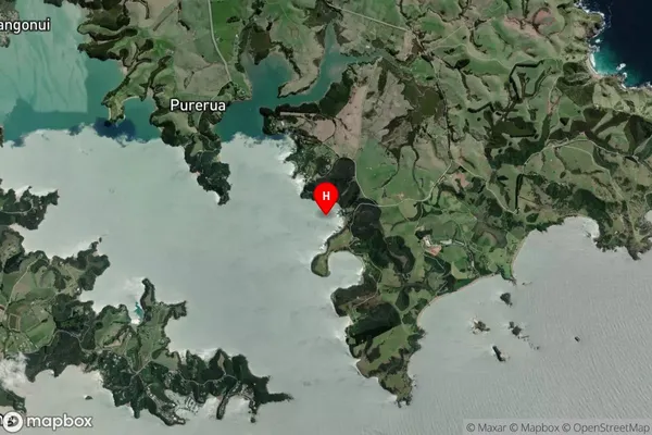
Coastal BayPatunui Bay Suburb Map (Satellite)
Country
Main Region in AU
NorthlandPatunui Bay Region Map

Coordinates
-35.1696287,174.055398 (latitude/longitude)Distances
The distance from Patunui Bay, , Far North District to NZ Top 10 Cities