Lansdowne Area, Lansdowne Postcode(5871) & Map in Lansdowne
Lansdowne Area, Lansdowne Postcode(5871) & Map in Lansdowne, Masterton District, New Zealand
Lansdowne, Masterton District, New Zealand
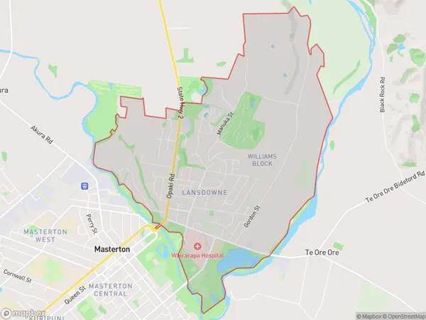
Lansdowne Area (estimated)
9.9 square kilometersLansdowne Population (estimated)
5102 people live in Lansdowne, Wellington, NZLansdowne Suburb Area Map (Polygon)
Lansdowne Introduction
Lansdowne is a suburb of Masterton, Wellington, New Zealand. It is located on the southern bank of the Wairarapa River, approximately 10 kilometers south of Masterton's central business district. Lansdowne is known for its historic buildings, including the Lansdowne Hotel, which was built in 1877. The suburb has a population of around 1,000 people and is a popular destination for tourists and locals alike.Region
Major City
Suburb Name
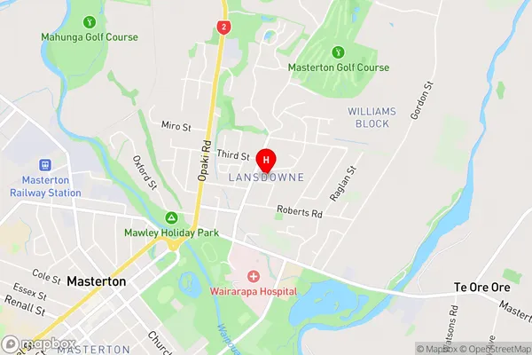
LansdowneLansdowne Area Map (Street)
Local Authority
Masterton DistrictFull Address
Lansdowne, Masterton District, New ZealandAddress Type
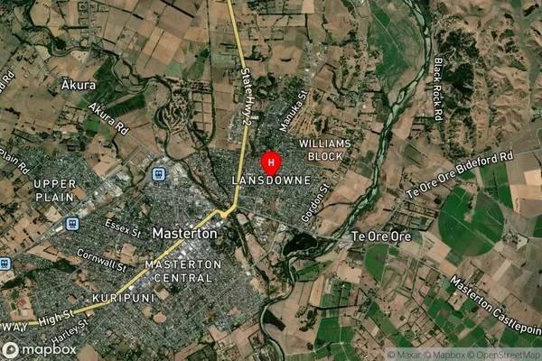
Suburb in Town MastertonLansdowne Suburb Map (Satellite)
Country
Main Region in AU
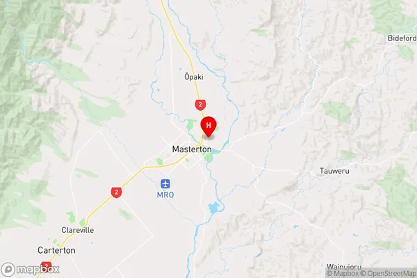
WellingtonLansdowne Region Map
Coordinates
-40.9414001,175.6761676 (latitude/longitude)Distances
The distance from Lansdowne, Masterton, Masterton District to NZ Top 10 Cities