Parorenui Bay Area, Parorenui Bay Postcode & Map in Parorenui Bay
Parorenui Bay Area, Parorenui Bay Postcode & Map in Parorenui Bay, Far North District, New Zealand
Parorenui Bay, Far North District, New Zealand
Parorenui Bay Area (estimated)
0.2 square kilometersParorenui Bay Population (estimated)
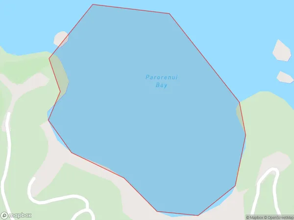
0 people live in Parorenui Bay, Bay of Islands-Whangaroa Community, NZParorenui Bay Suburb Area Map (Polygon)
Parorenui Bay Introduction
Parorenui Bay is a picturesque bay located in the Northland region of New Zealand. It is known for its stunning turquoise waters, white sandy beaches, and surrounding natural landscapes. The bay is a popular destination for tourists and outdoor enthusiasts, with opportunities for hiking, fishing, and kayaking. It is also home to a small community of native Maori people who have lived in the area for centuries.Region
Major City
Suburb Name
Parorenui BayOther Name(s)
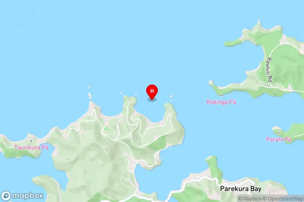
Te Rawhiti Inlet, Bay Of IslandsParorenui Bay Area Map (Street)
Local Authority
Far North DistrictFull Address
Parorenui Bay, Far North District, New ZealandAddress Type
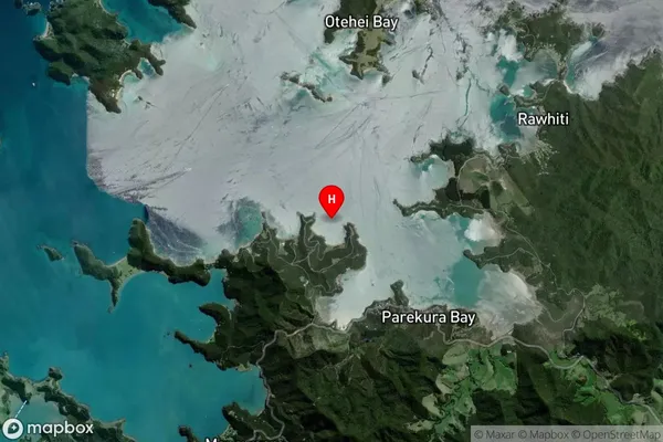
Coastal BayParorenui Bay Suburb Map (Satellite)
Country
Main Region in AU
NorthlandParorenui Bay Region Map

Coordinates
-35.2460195,174.22824 (latitude/longitude)Distances
The distance from Parorenui Bay, , Far North District to NZ Top 10 Cities