Paroa Bay Area, Paroa Bay Postcode(0202) & Map in Paroa Bay
Paroa Bay Area, Paroa Bay Postcode(0202) & Map in Paroa Bay, Far North District, New Zealand
Paroa Bay, Far North District, New Zealand
Paroa Bay Postcodes
Paroa Bay Area (estimated)
2.0 square kilometersParoa Bay Population (estimated)
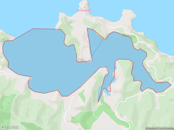
0 people live in Paroa Bay, Bay of Islands-Whangaroa Community, NZParoa Bay Suburb Area Map (Polygon)
Paroa Bay Introduction
Paroa Bay is a picturesque beach located in the Far North District of Northland, New Zealand. It is known for its crystal-clear waters, stunning sunsets, and rich marine life. The bay is a popular spot for swimming, snorkeling, and kayaking, and is surrounded by lush tropical forests and breathtaking coastal scenery.Region
Major City
Suburb Name
Paroa BayOther Name(s)
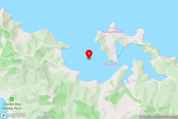
Te Rawhiti Inlet, Bay Of IslandsParoa Bay Area Map (Street)
Local Authority
Far North DistrictFull Address
Paroa Bay, Far North District, New ZealandAddress Type
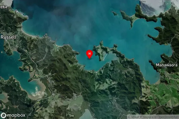
Coastal BayParoa Bay Suburb Map (Satellite)
Country
Main Region in AU
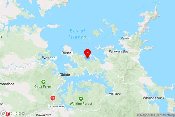
NorthlandParoa Bay Region Map
Coordinates
-35.2718207,174.170363 (latitude/longitude)Distances
The distance from Paroa Bay, , Far North District to NZ Top 10 Cities