Pareparea Bay Area, Pareparea Bay Postcode & Map in Pareparea Bay
Pareparea Bay Area, Pareparea Bay Postcode & Map in Pareparea Bay, Area outside Territorial Authority, New Zealand
Pareparea Bay, Area outside Territorial Authority, New Zealand
Pareparea Bay Area (estimated)
0.3 square kilometersPareparea Bay Population (estimated)
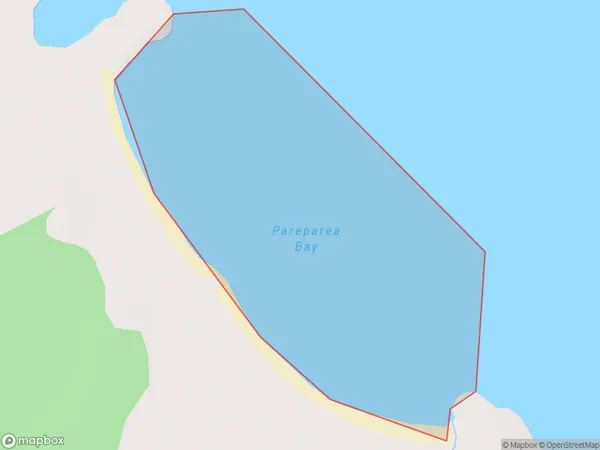
0 people live in Pareparea Bay, Northland, NZPareparea Bay Suburb Area Map (Polygon)
Pareparea Bay Introduction
Pareparea Bay is a popular beach in Northland, New Zealand. It is known for its golden sand, clear waters, and stunning coastal views. The bay is a popular spot for swimming, surfing, and fishing, and is surrounded by lush native forests. It is also home to a large population of sea birds, including the rare New Zealand dotterel.Region
Suburb Name
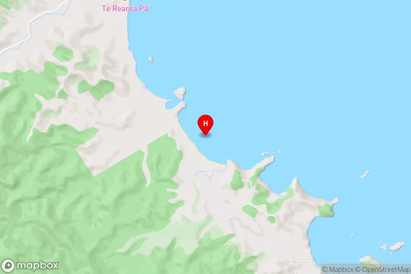
Pareparea BayPareparea Bay Area Map (Street)
Local Authority
Area outside Territorial AuthorityFull Address
Pareparea Bay, Area outside Territorial Authority, New ZealandAddress Type
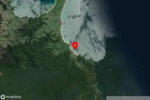
Coastal BayPareparea Bay Suburb Map (Satellite)
Country
Main Region in AU
NorthlandPareparea Bay Region Map

Coordinates
-35.4613611,174.4362615 (latitude/longitude)Distances
The distance from Pareparea Bay, , Area outside Territorial Authority to NZ Top 10 Cities